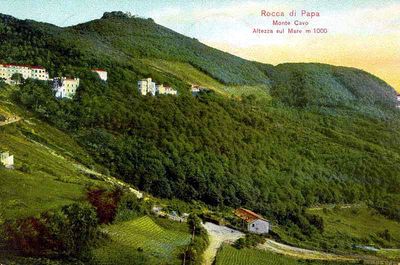
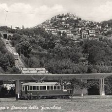
Rocca di Papa, Medieval commune in Alban Hills, Italy
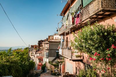
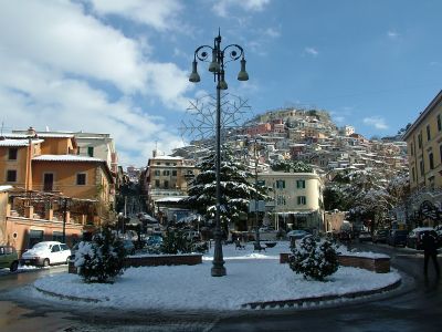
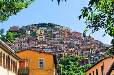
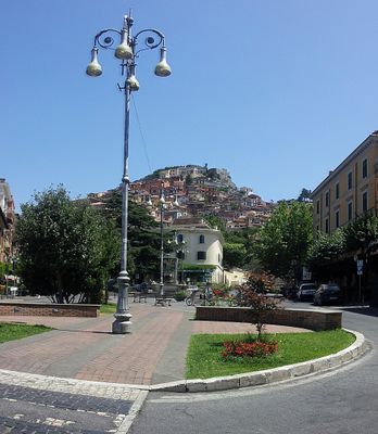
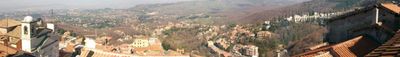
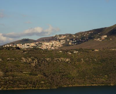
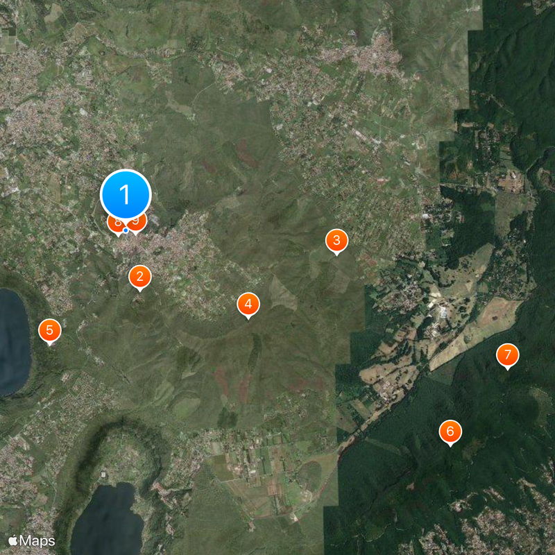
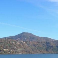
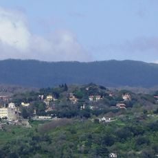
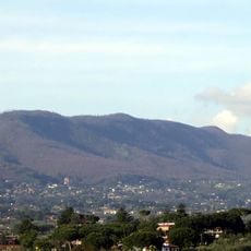
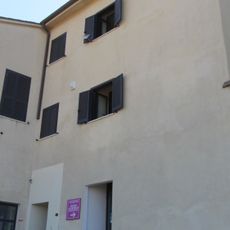
Rocca di Papa is a village in the Alban Hills southeast of Rome, sitting above 680 meters elevation with narrow winding streets lined by stone buildings. The town's layout adapts to the steep terrain, creating a maze-like structure throughout.
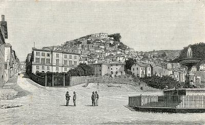
The settlement began as the ancient Latin city of Cabum and took its current name in the 12th century when Pope Eugene III visited the area. This connection to early Christianity left a lasting mark on the town's identity.
The town's chestnut harvest brings people together each autumn with local wines and regional products on display. This tradition shapes how residents connect with their landscape and each other throughout the year.
Visitors can reach the town via several train stations, particularly Marino Laziale and Frascati, both offering good connections to Rome. The best way to explore is on foot through the narrow lanes, so sturdy shoes are recommended.
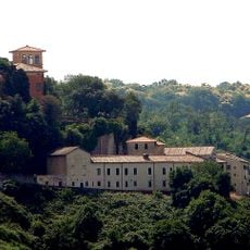
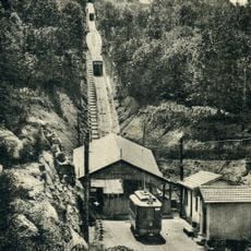
A Royal Geodynamic Observatory established in 1889 sits in the town and played a key role in early radio experiments. Guglielmo Marconi used the facility between 1922 and 1935 for his wireless telegraphy research.
Location: Metropolitan City of Rome
Elevation above the sea: 680 m
Shares border with: Albano Laziale, Ariccia, Artena, Castel Gandolfo, Lariano, Marino, Monte Compatri, Rocca Priora, Velletri, Grottaferrata, Nemi
Address: 00040 Rocca di Papa, Metropolitan City of Rome Capital, Italy
Website: http://comune.roccadipapa.rm.it
GPS coordinates: 41.76197,12.70687
Latest update: December 14, 2025 19:25
Photo license: GFDL
Monte Cavo
1.1 km
Parco regionale dei Castelli Romani
3.9 km
Maschio delle Faete
2.8 km
Convento di Santa Maria ad Nives di Palazzolo
2.5 km
Mount Algidus
7.1 km
Maschio dell'Ariano
7.4 km
Rocca di Papa funicular
149 m
Santa Maria Assunta
201 m
Geophysical Museum, Rocca di Papa
337 m
Valle Oscura funicular
391 m
Archeoparco Vulcano
4.2 km
Tuscolana astronomy association
5.4 km
Cerquone - Doganella
6.5 km
Sentiero interrotto per frana
2.5 km
Canyon
7.6 km
Sentiero in disuso
2.4 km
Sentiero interotto per "proprietà privata"
1.2 km
Sentiero interrotto per "proprietà privata"
1.2 km
Sentiero in disuso
2.1 km
Sentiero in disuso
2.4 km
Discesa in salita
2.6 km
Panorama dei 2 laghi
1.4 km
Convento Palazzola
2.5 km
Panorama
7.4 km
Panorama
7.3 km
Scenic viewpoint
363 m
Monte Cavo, Colle Iano - panorama su Roma
2.7 km
Lago di Nemi Viewpoint
2.1 kmVisited this place? Tap the stars to rate it and share your experience / photos with the community! Try now! You can cancel it anytime.
Discover hidden gems everywhere you go!
From secret cafés to breathtaking viewpoints, skip the crowded tourist spots and find places that match your style. Our app makes it easy with voice search, smart filtering, route optimization, and insider tips from travelers worldwide. Download now for the complete mobile experience.
A unique approach to discovering new places❞
— Le Figaro
All the places worth exploring❞
— France Info
A tailor-made excursion in just a few clicks❞
— 20 Minutes