Monte Zeda, Mountain summit in Piedmont, Italy
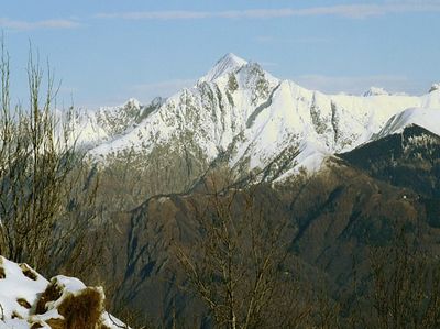
Monte Zeda is a mountain summit in the Lepontine Alps in Piedmont, northwestern Italy, reaching 2,156 meters (7,073 feet). Its slopes are divided among three municipalities and crossed by marked trails that depart from several valley villages.
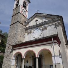
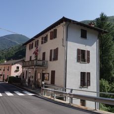
Monte Zeda served for centuries as a natural boundary between the municipalities of Miazzina, Aurano, and Valle Cannobina, which kept large settlements away from the upper slopes. The high pastures were used mainly by shepherds who brought their livestock up each summer season.
The summit cross on Monte Zeda is a visible landmark that acts as a meeting point for hikers finishing their climb. A small register box attached to it invites visitors to sign in, keeping alive a shared tradition among mountain walkers across the western Alps.
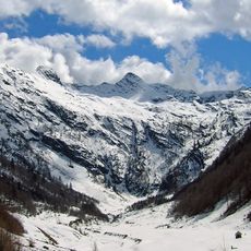
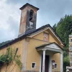
The summit can be reached from Falmenta or from Premeno via Alpe Manegra, with either route taking around five hours on foot. The trails are most accessible between June and September, once the snow has melted from the upper sections.
Despite sitting close to the well-traveled shores of Lake Maggiore, Monte Zeda sees far fewer visitors than nearby peaks, making it a genuinely quiet destination. On clear days, the view from the top takes in both the lake below and the higher Alpine summits to the north.
The community of curious travelers
AroundUs brings together thousands of curated places, local tips, and hidden gems, enriched daily by 60,000 contributors worldwide.