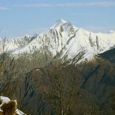
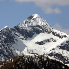
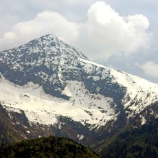
Cima della Laurasca, Mountain summit in Piedmont, Italy
Cima della Laurasca is a 2,195 m summit in the Lepontine Alps of Piedmont, on the border between Val Grande and Val Loana, a side valley of the Vigezzo Valley. It lies within Val Grande National Park, and its original name was Pizz dla Brasca, meaning "ember".
The first recorded ascent was made by Giacomo Pollini on 5 September 1842. The mountain, originally called Pizz dla Brasca, lies in the Lepontine Alps between the Val Grande and the Val Loana, a side valley of the Val Vigezzo, and is now part of Val Grande National Park.
The mountain's original name, Pizz dla Brasca, refers to embers (brace) in the local dialect, a name later altered to Laurasca. The first recorded ascent was made by Giacomo Pollini on 5 September 1842, and the route from Malesco through Val Loana and the Alpe Scaredi bivouac follows the line of that early climb.
The climb to the summit begins near Malesco and follows a clearly marked path through the terrain. The Bivacco Scaredi shelter lies to the northwest and offers refuge if needed during the hike.
The name Laurasca derives from the original Pizz dla Brasca, meaning "crag of the embers", a local toponym recorded before the current form. The first documented ascent was made by Giacomo Pollini on 5 September 1842, decades before the summit became a hiking destination.
The community of curious travelers
AroundUs brings together thousands of curated places, local tips, and hidden gems, enriched daily by 94,674 contributors worldwide.