County of Nice, Historical county in French Riviera, France
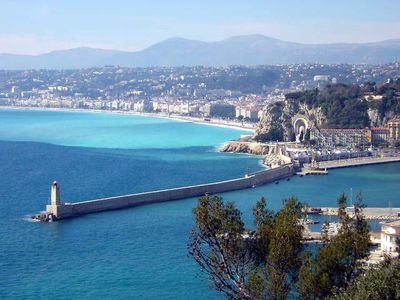
The County of Nice was a historical territory extending from the Mediterranean Sea to the Alps, encompassing lands between the Var River and the current French-Italian border. Its boundaries were defined by mountainous terrain to the north and coastline to the south.
In 1388, the territory passed from Provence to the House of Savoy following an agreement between Amadeus VII and Giovanni Grimaldi. This transfer created a new administrative region under Savoyard control.
The region kept Italian as its administrative language until 1860, showing the strong influence of Savoyard rule and Mediterranean traditions. This linguistic and cultural identity shaped daily life and local institutions for residents.
Understanding the historical boundaries helps recognize the geographic differences between the mountain and coastal regions. Maps from that period show how landscape influenced administration and control of the territory.
During World War II, the territory provided shelter for Jewish refugees until 1943, when German forces replaced Italian occupation. This episode shows the shifting controls and protection possibilities in a border region.
The community of curious travelers
AroundUs brings together thousands of curated places, local tips, and hidden gems, enriched daily by 60,000 contributors worldwide.