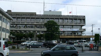
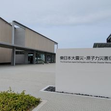
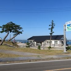
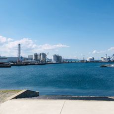
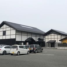
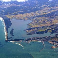
Minamisoma, city in Fukushima Prefecture, Japan
Location: Fukushima Prefecture
Inception: January 1, 2006
Shares border with: Sōma, Iitate, Namie
Website: https://city.minamisoma.lg.jp
GPS coordinates: 37.64219,140.95731
Latest update: March 3, 2025 11:24
原子力明るい未来のエネルギー
21.5 km
Great East Japan Earthquake and Nuclear Disaster Memorial Museum
21.4 km
Sōma-Nakamura Castle
17.8 km
Fukushima Daiichi units 4, 5 and 6
24.8 km
Odaka Castle
8.7 km
Haramachi Radio Tower
2.4 km
Matsukawaura Bridge
20.5 km
Mt Karou
25.8 km
Hiyama
26.5 km
Sakurai Kofun
3 km
Kiyotosaku Cave Tombs
22.7 km
南相馬市民文化会館
121 m
Namie Sosei Elementary School and Junior High School
17.3 km
Unoosaki Lighthouse
20.3 km
Daishō-ji
16.9 km
宝蔵寺
8.2 km
Mano Kofun Cluster
6.1 km
阿弥陀寺
8.1 km
Tsunami and Earthquake Victims Memorial Hall of Sōma City
20.9 km
Port of Sōma
21.6 km
Urajiri Shell Mound
14.9 km
Yokodaidō Steel Production Site
9.8 km
金沢地区製鉄遺跡群
5.2 km
Sōma City Museum of Historical Materials
17.5 km
長松寺
5.6 km
新田橋
939 m
Matsukawaura Prefectural Natural Park
17.4 km
Scenic viewpoint
20.3 kmVisited this place? Tap the stars to rate it and share your experience / photos with the community! Try now! You can cancel it anytime.
Discover hidden gems everywhere you go!
From secret cafés to breathtaking viewpoints, skip the crowded tourist spots and find places that match your style. Our app makes it easy with voice search, smart filtering, route optimization, and insider tips from travelers worldwide. Download now for the complete mobile experience.
A unique approach to discovering new places❞
— Le Figaro
All the places worth exploring❞
— France Info
A tailor-made excursion in just a few clicks❞
— 20 Minutes