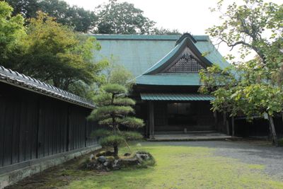
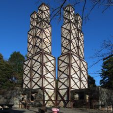
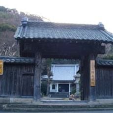
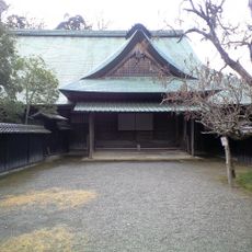
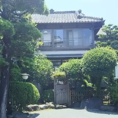
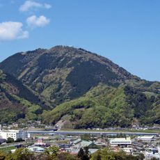
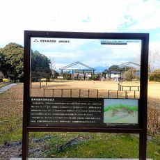
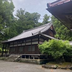
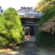
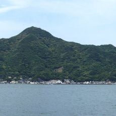
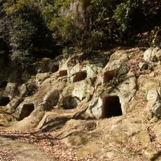
Nirayama, dissolved municipality in Tagata district, Shizuoka prefecture, Japan
Location: Tagata district
Inception: April 1, 1889
GPS coordinates: 35.05903,138.95275
Latest update: March 3, 2025 23:33
Nirayama Reverberatory Furnaces
2.3 km
Izu Mito Sea Paradise
6.8 km
Nirayama Castle
640 m
Ganjōju-in
1.9 km
Izunokuni Panorama Park
5.9 km
Nirayama Daikansho
787 m
Awashima Marine Park
6.4 km
Yasudaya Ryokan
6.6 km
Mount Katsuragi
6 km
江間料金所
2.7 km
Mount Hottanjō
6.8 km
沼津市立静浦小中一貫学校
6.2 km
Kashiya Cave Tombs
2.7 km
北條寺
2.1 km
Hōjō Residence Site (Enjō-ji Site)
2 km
Scratch due to the earthquake, Quakes recorded on the torpedo
1.8 km
国清寺
2.2 km
北条政子産湯の井戸
1.7 km
Chōgen-ji
7 km
Yamaki Site
689 m
Mount Ōhira
4.2 km
韮山郷土史料館
686 m
Enoura lateral hole tombs
5.2 km
塩満寺
6.8 km
Kitaema Cave Tombs
3 km
Izu World Minna no Hawaiians
5.3 km
Horigoe Gosho
1.7 km
Nakazato Warm Water Pond
6.3 kmReviews
Visited this place? Tap the stars to rate it and share your experience / photos with the community! Try now! You can cancel it anytime.
Discover hidden gems everywhere you go!
From secret cafés to breathtaking viewpoints, skip the crowded tourist spots and find places that match your style. Our app makes it easy with voice search, smart filtering, route optimization, and insider tips from travelers worldwide. Download now for the complete mobile experience.
A unique approach to discovering new places❞
— Le Figaro
All the places worth exploring❞
— France Info
A tailor-made excursion in just a few clicks❞
— 20 Minutes