Mount Hachimen, mountain in Japan
Location: Nakatsu
Elevation above the sea: 659.4 m
GPS coordinates: 33.49601,131.22677
Latest update: April 27, 2025 03:23
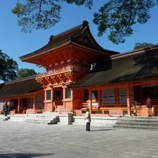
Usa Shrine
14.1 km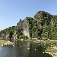
Yabakei
10.1 km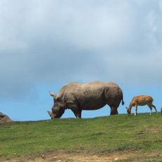
Kyushu African Safari
23.3 km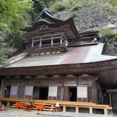
Rakan-ji
4.1 km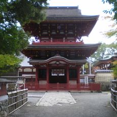
Komo-jinja
8 km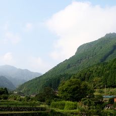
Mount Kubote
20.6 km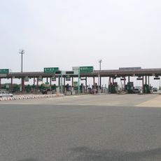
Fukuoka-nishi toll gate
10.3 km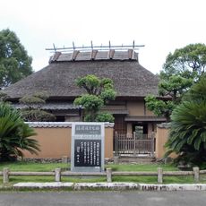
Former Residence of Yukichi Fukuzawa
12.8 km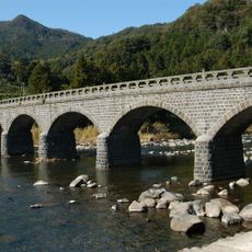
Yabakei Bridge
5.3 km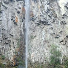
Higashishiiya Falls
21.1 km
龍岩寺
11 km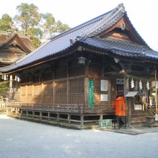
Ōtomi-jinja
16.8 km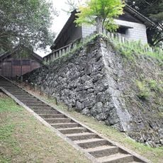
Mori Jin'ya
22.4 km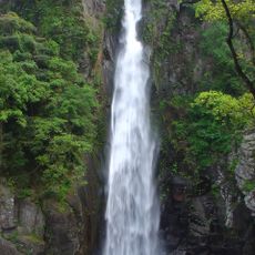
Nishishiiya Falls
15.9 km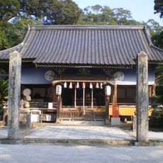
Kintomi-jinja
22.7 km
Hachiman Tsuruichi-jinja
8.4 km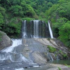
Ryūmon Falls
24.6 km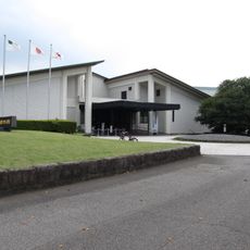
Ōita Prefectural Museum of History
13.9 km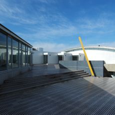
Nakatsu City Obata Memorial Library
12.6 km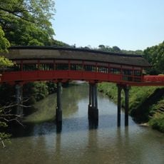
Kure Bridge
14 km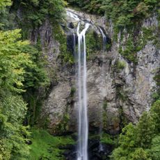
Fukino Falls
19.2 km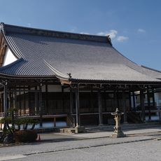
Shinshūōtaniha gifu yokkaichi betsu-in
9.8 km
Kurushima Takehiko Memorial Hall
22.4 km
Rakanji Bridge
5.4 km
Kubote Historical Museum
19.9 km
Nakatsu Castle
12.9 km
Usashi Heiwashiryokan
10.6 km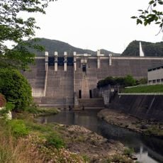
Yabakei Dam
11 kmReviews
Visited this place? Tap the stars to rate it and share your experience / photos with the community! Try now! You can cancel it anytime.
Discover hidden gems everywhere you go!
From secret cafés to breathtaking viewpoints, skip the crowded tourist spots and find places that match your style. Our app makes it easy with voice search, smart filtering, route optimization, and insider tips from travelers worldwide. Download now for the complete mobile experience.

A unique approach to discovering new places❞
— Le Figaro
All the places worth exploring❞
— France Info
A tailor-made excursion in just a few clicks❞
— 20 Minutes