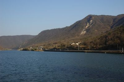
Yoshii River, River system in Okayama Prefecture, Japan
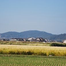
The Yoshii River flows roughly 133 kilometers from mountains in the northwest through Okayama Prefecture before reaching the Seto Inland Sea. The waterway passes through different landscapes, moving from forested hills down into flatter areas with farmland and small villages.
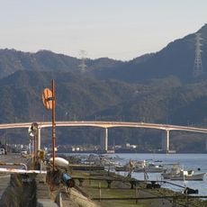
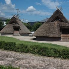
The river has served for centuries as a key connection between mountain settlements and coastal communities. Over time, it became essential for moving goods and people, shaping how towns and villages developed along its banks.
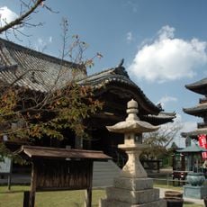
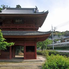
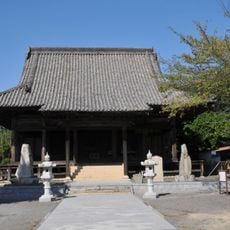
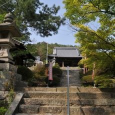
Local communities along the Yoshii River maintain traditional fishing methods and celebrate seasonal festivals near its banks.
You can reach the river at several points to fish, paddle, or watch wildlife. Parking areas sit near these access spots, and the best time to visit is year-round, though spring and autumn tend to feel most pleasant.
The river basin covers 2,110 square kilometers and supports specialized agricultural practices that depend on its seasonal water patterns.
The community of curious travelers
AroundUs brings together thousands of curated places, local tips, and hidden gems, enriched daily by 60,000 contributors worldwide.