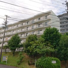
Meitoku Park, Public park in Meito-ku, Nagoya, Japan
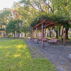
Meitoku Park is a green-space park in the northeast of Meito-ku, Nagoya, covering a hill between 50 and 70 meters in elevation and measuring 600 meters north to south and 400 meters east to west. Its highest point is Karasuyama at 72.6 meters. The grounds include Meitoku Pond, a playground, a children's camp area, a baseball and soccer field, and a parking lot on the northwest side.
Meitoku Park was designated as an urban planning park on 15 February 1958. Most of the designated area was scheduled for completion by 2017, while work on the remaining southeastern section is planned to begin from 2038 onward. The park covers a hilly area at 50–70 m elevation, 600 m north–south and 400 m east–west, with its highest point at Karasu-yama (72.6 m).
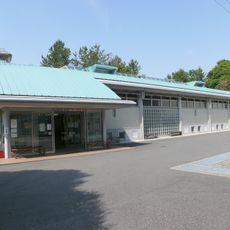
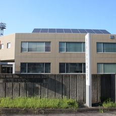
The park's name comes from Meitoku-ji, a temple in the former Inokoishi village; the area straddles the old hamlets of Ujimawari and Kanō. Today the Inokoishi Community Center on the grounds serves as a meeting place for the Inokoishi and Toyogaoka school districts. The pond is used for fishing crucian carp and crayfish.
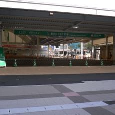
The park lies on a hill 50 to 70 m above sea level, stretching 600 m north to south and 400 m east to west; the highest point is Karasuyama at 72.6 m. Parking is in the northwest. Buses stop at Meitokuchi-higashi and Meitoku-kōen-kita (Hongō line 11) and Fujimori 1-chōme (Kamisha line 11, Meitō loop).
The park's highest point is Karasu-yama, a 72.6 m hill, while the grounds lie on a 50–70 m plateau measuring 600 m north to south and 400 m east to west. Meitoku Pond allows crucian carp and crayfish fishing, and the children's camp area has water and toilets but no cooking hearths, and requires an application to the civil engineering office.
The community of curious travelers
AroundUs brings together thousands of curated places, local tips, and hidden gems, enriched daily by 93,362 contributors worldwide.