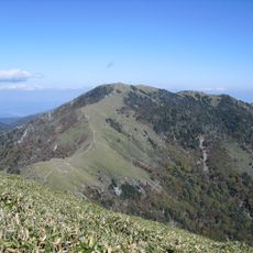
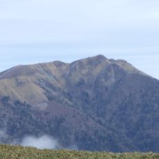
Mount Yahazu, Mountain summit in Miyoshi and Tsurugi, Tokushima Prefecture, Japan.
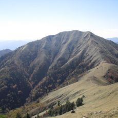
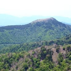
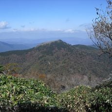
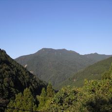
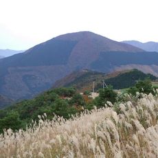
Mount Yahazu is a 1,849 m peak on the border of Miyoshi (former Higashi-Iya village) and Tsurugi, Tokushima Prefecture, in the northern Iya range of the Tsurugi mountains. Its slightly pointed summit rises 150–300 m above neighbouring peaks and is mostly grass and bamboo, giving wide views. A small rock pinnacle about 10 m high, Yahazu Rock, stands near the top, and a second-order triangulation point is set there.
The mountain lies on the boundary between Miyoshi (formerly Higashi-Iya village) and Tsurugi town in Mima District, Tokushima Prefecture. In earlier times the name Tsukugamine was used for this peak together with neighbouring Ishido-yama and Kurokasa-yama. A second-order triangulation point stands on the summit, officially named Yahazu-yama and recorded at 1848.70 m.
The name Yahazu is thought to come from the summit's pointed M-shaped profile, which resembles the notch of an arrow's feather when seen from certain directions. Another explanation points to Yahazu Rock, a small crag of about 10 metres near the top. A folk tale says an arrow shot by a Taira warrior at the Battle of Yashima flew as far as this mountain.
The main approach starts from Ochiai Pass (1,520 m), reached by road from the Ochiai settlement in the Oku-Iya area, with a car park at the trailhead; the ridge route from there has little elevation gain. A longer alternative climbs via Shirataki and Ishido mountains. Trails also continue south to Sagarihage and east to Mount Kurokasa.
A small rock pinnacle called Yahazu Iwa, under 10 metres high and made of crystalline schist, stands on the summit and serves as the mountain's landmark, visible from afar. A second-order triangulation point is set at 1,848.70 m.
The community of curious travelers
AroundUs brings together thousands of curated places, local tips, and hidden gems, enriched daily by 93,553 contributors worldwide.