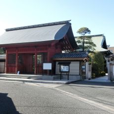
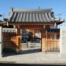
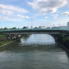
Arakawa No. 1 Retention Basin, Water retention facility in Sakura-ku and Toda, Japan
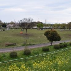
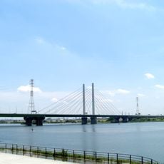
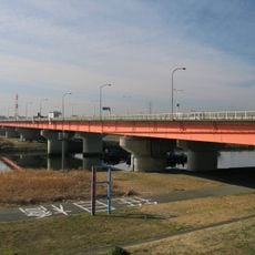
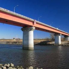
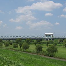
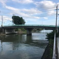
Arakawa No. 1 Retention Basin runs 8.1 km along the left bank of the Arakawa between Hanekura Bridge and the stretch between Kōtama Bridge and Sasame Bridge, in Saitama Prefecture. An enclosing levee separates it from the river and a surrounding levee from the inland side. Inside lies Lake Saiko, 8.1 km long and 1.18 km2 in area, storing 10.6 million m3 of water, with the Kōtama Bridge of the Tokyo Gaikan Expressway crossing its middle.
Planned in 1973 by the former Ministry of Construction as one of five retention basins for flood and drought control in the Arakawa's middle reaches, it is the only one completed so far. The Saiko reservoir was named in 1995 and finished in March 1997; the basin itself was completed in fiscal 2003. In August 1999 it took in floodwater for the first time, and during Typhoon Hagibis in 2019 it stored 35 million of its 39 million tonnes.
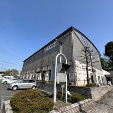
The Saiko Nature Learning Center within the basin teaches visitors about water management and demonstrates how Japanese engineering addresses environmental challenges. The facility shows how infrastructure integrates with local nature in practical ways.
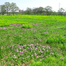
The area below Sahitama Bridge, kept as habitat for the remaining nature of the metropolitan region, is closed to entry. The Saiko lake and its surrounding parks are reached by road; the Toda-Nishi interchange of the Tokyo Gaikan Expressway and National Route 17 run through the basin. From July to September the lake level is lowered by about 2.3 m to leave room for floodwater.
The site operates simultaneously as a public learning space and flood protection system, with visitors able to observe how engineering function and environmental education work together. This dual purpose is uncommon and reflects a practical approach to land use.
The community of curious travelers
AroundUs brings together thousands of curated places, local tips, and hidden gems, enriched daily by 94,261 contributors worldwide.