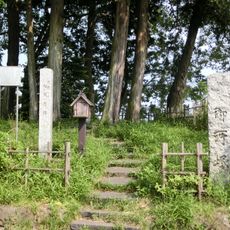
Tripoint of Tochigi, Gunma and Saitama Prefectures, Geographical tripoint at Kazo, Japan
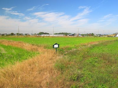
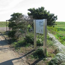
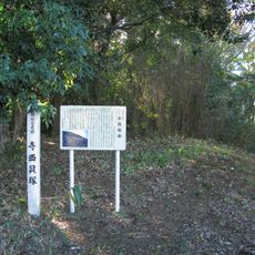
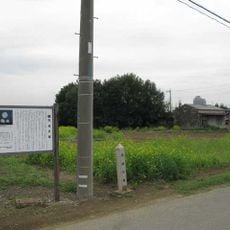
The Tripoint of Tochigi, Gunma and Saitama Prefectures is marked by a concrete stake situated in agricultural land surrounded by rice fields. The exact coordinates and boundary measurements at this location were officially established by the local authorities in 2016.
The original boundaries of these three prefectures once followed the Watarasegawa River, but shifted after river restoration projects during the Meiji and Taishō periods. The relocation resulted in the need to later establish this marked point to record the exact convergence location.
Three local governments, representing Tochigi City, Itakura Town, and Kazo City, collaborated in 2016 to establish precise measurements of this geographical intersection.
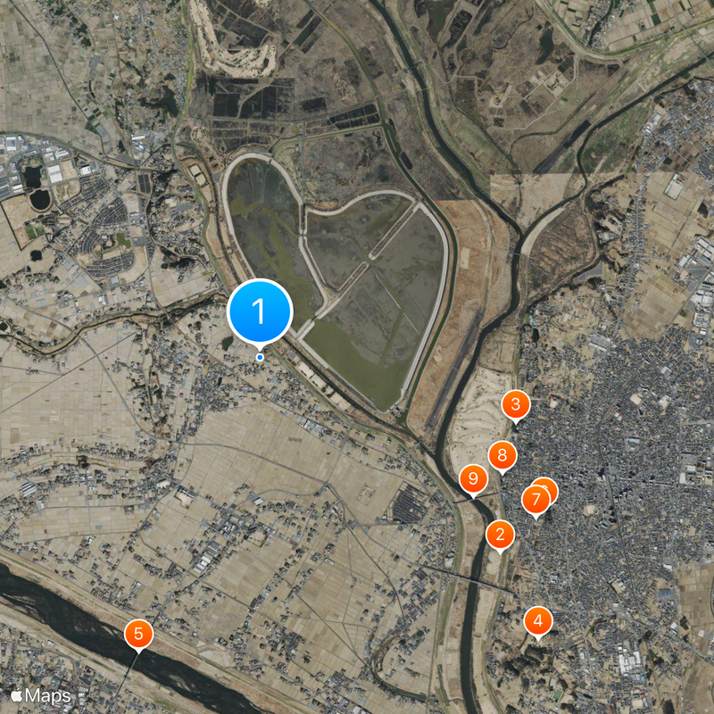
The site is located in a rural agricultural area and is best reached on foot from nearby Yagyū Station. Visitors should wear appropriate footwear for walking through the rice fields and be prepared for uneven terrain.
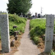
The marker sits approximately 500 meters from Roadside Station Kitakawabe, allowing visitors to conveniently combine a visit to this rest stop with their trip to the tripoint. The location lets visitors literally stand at three prefecture boundaries at once by simply shifting their position around the concrete stake.
The community of curious travelers
AroundUs brings together thousands of curated places, local tips, and hidden gems, enriched daily by 60,000 contributors worldwide.