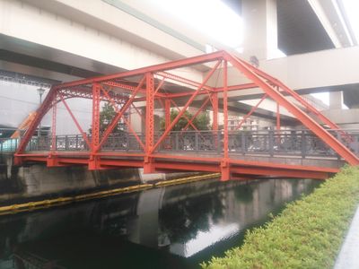
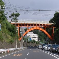
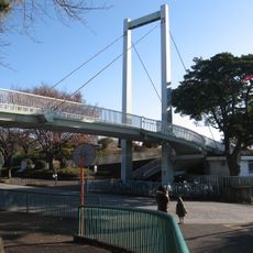
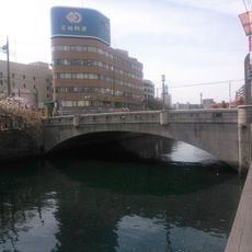
浦舟水道橋, Steel bridge in Kawasaki, Japan
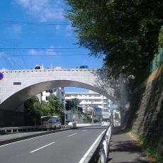
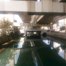
The Urafune Water Bridge is a steel structure that spans a canal in Kawasaki, connecting two banks with a straightforward design. The framework features visible metal girders typical of early bridge engineering, with pathways for pedestrians and vehicles crossing the waterway.
The bridge was built in the 1930s as Japan modernized its infrastructure and expanded transportation routes through growing port and industrial areas. This structure replaced earlier methods of crossing and enabled more efficient connections between districts.
The bridge serves as a daily crossing point for local residents and workers commuting between neighborhoods on either side of the canal. It has become woven into the fabric of everyday life in this part of Kawasaki.
The bridge is accessible year-round and provides a safe crossing route for both pedestrians and vehicles over the canal. Visitors should note that traffic can be heavy at times, particularly during rush hours when local commuters are moving between neighborhoods.
From the bridge, you can observe the blend of industrial activity and water-based transportation systems that characterize this part of Kawasaki. This viewpoint reveals how the port and its infrastructure are interwoven with the city's development.
The community of curious travelers
AroundUs brings together thousands of curated places, local tips, and hidden gems, enriched daily by 60,000 contributors worldwide.