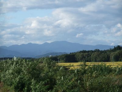
Tashirodake Prefectural Natural Park, natural park of Akita prefecture, Japan
Location: Ōdate
Inception: January 11, 1975
GPS coordinates: 40.43000,140.41000
Latest update: March 7, 2025 22:57
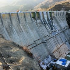
Tsugaru Dam
17.5 km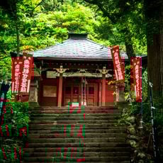
Kudoji
12.3 km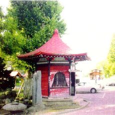
Chōshō-ji
19.1 km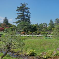
Fujita Memorial Japanese Garden
19.8 km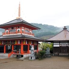
Daienji
17.2 km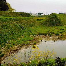
Horikoshi Castle
18.5 km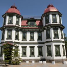
Former Hirosaki City Library
19.8 km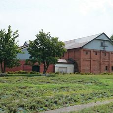
Yoshino-chō Brick Warehouse
19.5 km
Ōmori Katsuyama Site
19.8 km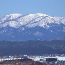
Mount Tashiro
195 m
Hirosaki City Public Library
19.8 km
Mount Fujisato-Komagatake
13.6 km
Subari Dam
19.2 km
Ō Yama
16.3 km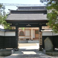
蘭庭院
19.1 km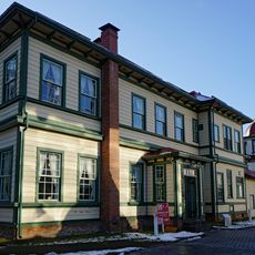
Former Tōō Gijuku Missionary House
19.8 km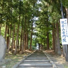
Fumon-in
19 km
Mount Kodake
18 km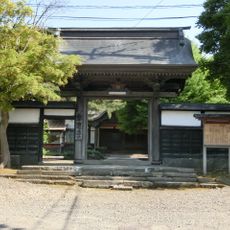
Hōon-ji
18.9 km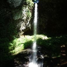
Chōshi Falls
16.8 km
法立寺
18.9 km
Taigū-ji
19.1 km
Hongyō-ji
18.9 km
白神山地ビジターセンター
19.1 km
Hirosaki City Local Literature Museum
19.8 km
Hirosaki Museum of Contemporary Art
19.5 km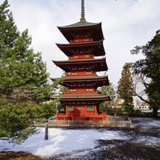
Saishō-in
19.2 km
Miyama Ko
18.1 kmReviews
Visited this place? Tap the stars to rate it and share your experience / photos with the community! Try now! You can cancel it anytime.
Discover hidden gems everywhere you go!
From secret cafés to breathtaking viewpoints, skip the crowded tourist spots and find places that match your style. Our app makes it easy with voice search, smart filtering, route optimization, and insider tips from travelers worldwide. Download now for the complete mobile experience.

A unique approach to discovering new places❞
— Le Figaro
All the places worth exploring❞
— France Info
A tailor-made excursion in just a few clicks❞
— 20 Minutes