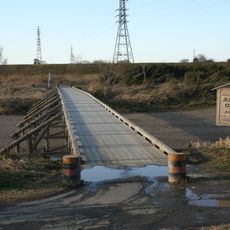
八幡橋, Historical steel bridge in Koto, Japan
Hachiman Bridge is a historical steel structure spanning the former Aburabori River in Koto. Measuring approximately 16 meters across and 4 meters wide, it carries both pedestrians and vehicles over what was once a waterway.
The structure was originally built in 1878 as Danjo Bridge in central Tokyo. Following the 1923 Great Kanto Earthquake, it was relocated to its present location in Koto district.
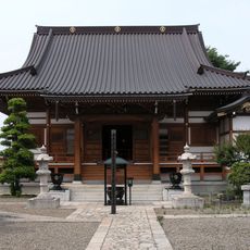
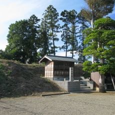
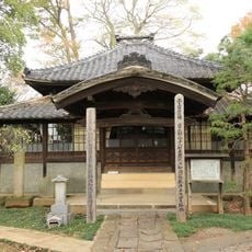
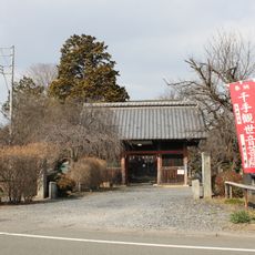
The bridge takes its name from the neighboring Tomioka Hachimangu Shrine, showing how infrastructure and sacred spaces intertwine in Japanese urban design. You can still sense this connection walking near the shrine today.
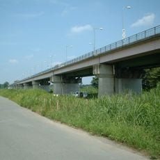
The bridge sits between Tomioka 1-chome and Tomioka 2-chome and connects to several nearby railway stations. The walkway is accessible to foot traffic, and the structure itself is easily visible from the surrounding streets.
The bridge showcases an unusual engineering approach, using cast iron for its arch and wrought iron for its tension elements. This blend of materials represents a pivotal moment in metal bridge construction during the late 1800s.
The community of curious travelers
AroundUs brings together thousands of curated places, local tips, and hidden gems, enriched daily by 60,000 contributors worldwide.