Chura-bong, Berggipfel in Nordkorea
Location: North Pyongan Province
GPS coordinates: 39.78250,124.66750
Latest update: March 5, 2025 16:54
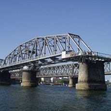
Yalu River Broken Bridge
44.1 km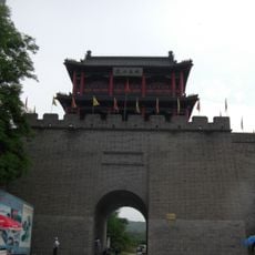
Hushan Great Wall
50.8 km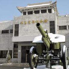
Memorial of the War to Resist US Aggression and Aid Korea
45.3 km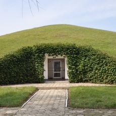
Kangso Three Tombs
112 km
Hushan Zhen (munisipyo sa Republikang Popular sa Tsina)
63 km
Anguksa
113 km
Songam Cavern
87.3 km
一歩跨
51.1 km
Tiejia Shuiku
54.3 km
Onchon Field
117 km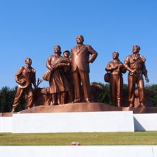
Group statue at Chongsan-ri Cooperative Farm
119.4 km
Kyŏllyong-jŏsuji
103.5 km
Kŭmgang-jŏsuji
43.2 km
Tŏksang-jŏsuji
61.6 km
Imwŏn-jŏsuji
119.4 km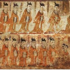
Tokhung-ri Tomb
113.4 km
Yŏnp'ung-ho
100.9 km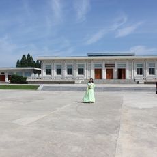
Cheongsan-ri Revolutionary Museum
119.4 km
Unjŏn-jŏsuji
59.3 km
Taesŏng-jŏsuji
71.2 km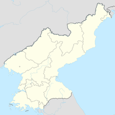
Tarŭn-jŏsuji
111.2 km
Tongam-jŏsuji
99.9 km
T'aech'ŏn-jŏsuji
76.4 km
Yongho-jŏsuji
116.4 km
Kusŏng-jŏsuji
46.1 km
Yongdu-bong (tumoy sa bukid sa Amihanang Korea, P'yŏngan-namdo)
103.8 km
Maebong-jŏsuji
20.9 km
Anhŭng-jŏsuji
51.7 kmVisited this place? Tap the stars to rate it and share your experience / photos with the community! Try now! You can cancel it anytime.
Discover hidden gems everywhere you go!
From secret cafés to breathtaking viewpoints, skip the crowded tourist spots and find places that match your style. Our app makes it easy with voice search, smart filtering, route optimization, and insider tips from travelers worldwide. Download now for the complete mobile experience.

A unique approach to discovering new places❞
— Le Figaro
All the places worth exploring❞
— France Info
A tailor-made excursion in just a few clicks❞
— 20 Minutes