
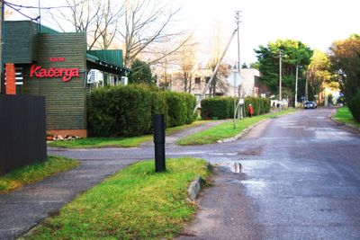
Kačerginė, town in Kaunas County, Lithuania
Location: Kaunas County
Elevation above the sea: 21 m
GPS coordinates: 54.93306,23.71889
Latest update: April 28, 2025 11:52
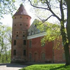
Raudondvaris Castle
4.3 km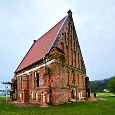
Old Church of St. John the Baptist, Zapyškis
4.2 km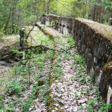
Romainiai fort
7.2 km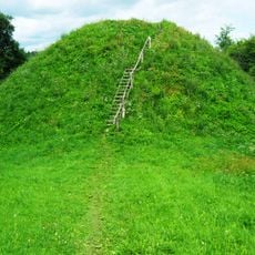
Pypliai Hillfort
2.1 km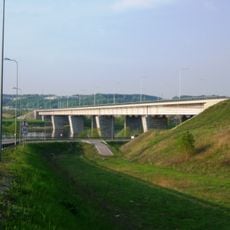
Lampėdžiai Bridge
7.9 km
Kamša Botanical-Zoological Reserve
5.8 km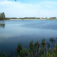
Gaižėnų tvenkinys
3.4 km
Veršvai hillfort
7.9 km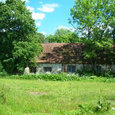
Marva mõis
8.3 km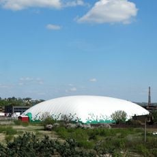
Vilijampolė inflatable arena
8.2 km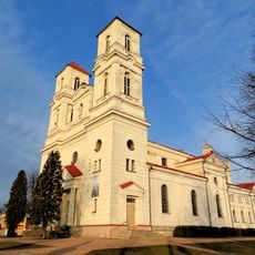
Saint Therese of the Child Jesus church in Raudondvaris
4.1 km
Romainiai manor
5.9 km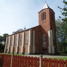
New Church of St. John the Baptist, Zapyškis
4.6 km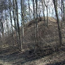
Marvelė hillfort
8.2 km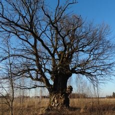
Karveliai Oak
5.3 km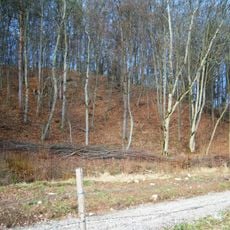
Nevėžis Landscape Reserve
6.4 km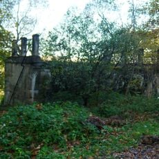
Raudondvaris bridge
4.6 km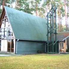
Kačerginė chapel
11 m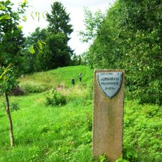
Altoniškiai hillfort
8.2 km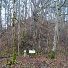
Bernatoniai hillfort
5.6 km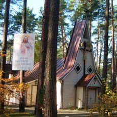
Church of the Holy Name of the Virgin Mary, Kulautuva
4.8 km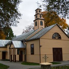
Church of Christ the King in Tabariškiai
7.5 km
Ritterswerder
6.7 km
Pušys Sesės
6.7 km
Nerėpa Entomological Reserve
4.8 km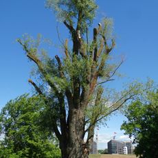
Santakos gluosnis
4.9 km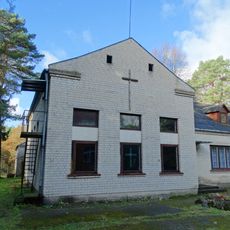
Chapel, Romainiai
5.8 km
Virbališkių piliakalnis
2.2 kmReviews
Visited this place? Tap the stars to rate it and share your experience / photos with the community! Try now! You can cancel it anytime.
Discover hidden gems everywhere you go!
From secret cafés to breathtaking viewpoints, skip the crowded tourist spots and find places that match your style. Our app makes it easy with voice search, smart filtering, route optimization, and insider tips from travelers worldwide. Download now for the complete mobile experience.

A unique approach to discovering new places❞
— Le Figaro
All the places worth exploring❞
— France Info
A tailor-made excursion in just a few clicks❞
— 20 Minutes