
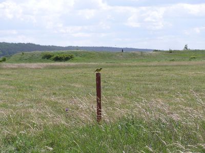
Seredžius Landscape Reserve
Location: Kaunas District Municipality
GPS coordinates: 55.07750,23.40861
Latest update: September 25, 2025 07:41
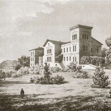
Belvederis Manor
1.2 km
Veliuonos piliakalniai
8.1 km
Pieštvė
334 m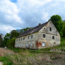
Ilguva Manor
5.6 km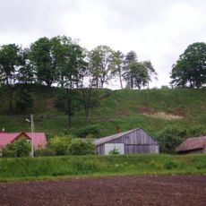
Veliuonos I piliakalnis
8.2 km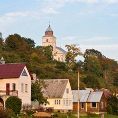
Church of the Assumption, Veliuona
8.5 km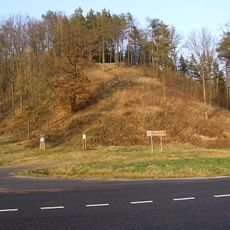
Ringovės piliakalnis
7.7 km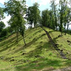
Žemosios Panemunės piliakalnis
4.2 km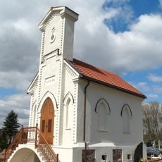
Veliuona Cemetery Chapel
9.9 km
Church of St. John the Baptist, Seredžius
570 m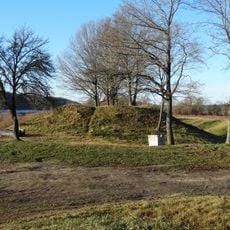
Veliuonos II piliakalnis
10.7 km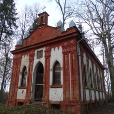
Belvederis chapel
1.1 km
Synagogue of Čekiškė
11.4 km
Seredžius 2nd hillfort
407 m
Stanislava manor
4.6 km
Church of the Discovery of the Holy Cross, Ilguva
5.8 km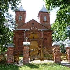
Church of the Holy Guardian Angels, Paežerėliai
2.9 km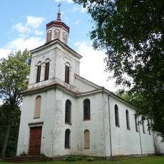
Church of Saint Vincent de Paul, Žemoji Panemunė
5.2 km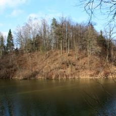
Butviloniai hillfort
5.5 km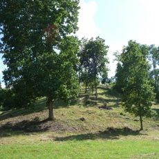
Žuklijai hillfort
3.7 km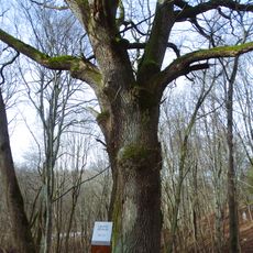
Ilguva oak
5.8 km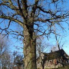
Papiškių ąžuolas
5 km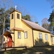
Kretkampis church
8.9 km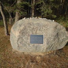
Skrebenai Holocaust Memorial
4 km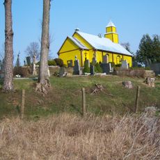
Chapel in Krūvandai
8.3 km
Dulinčiškių piliakalnis
6.1 km
Seredžiaus kapinynas
171 m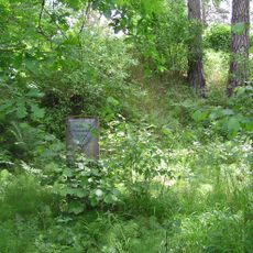
Pašilių piliakalnis
8.7 kmReviews
Visited this place? Tap the stars to rate it and share your experience / photos with the community! Try now! You can cancel it anytime.
Discover hidden gems everywhere you go!
From secret cafés to breathtaking viewpoints, skip the crowded tourist spots and find places that match your style. Our app makes it easy with voice search, smart filtering, route optimization, and insider tips from travelers worldwide. Download now for the complete mobile experience.

A unique approach to discovering new places❞
— Le Figaro
All the places worth exploring❞
— France Info
A tailor-made excursion in just a few clicks❞
— 20 Minutes