Mongyawng State, Administrative division in Shan State, Myanmar.
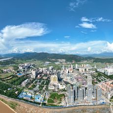
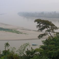
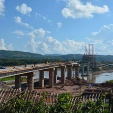
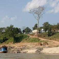
Mongyawng State is an administrative region in eastern Myanmar characterized by rolling hills, valleys, and numerous waterways near the Thai border. The landscape shifts between forested slopes and flatter areas where villages and farmland spread across the terrain.
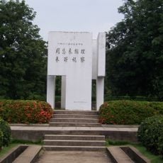
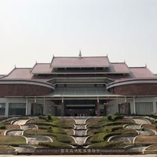
The territory was once part of the Ava kingdom and later became a British administrative unit during colonial rule. When Myanmar gained independence in 1948, it became incorporated into the new nation.
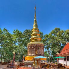
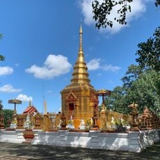
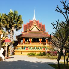
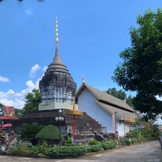
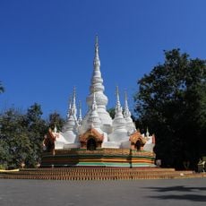
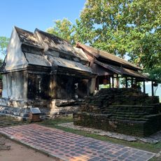
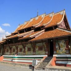
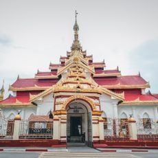
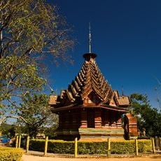
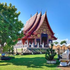
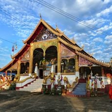
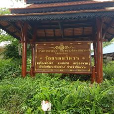
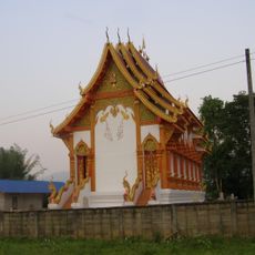
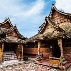
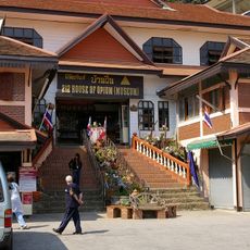
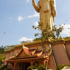
The area is home to Shan, Wa, and Kachin communities, each maintaining distinct traditions through festivals, music, and religious ceremonies that shape daily life. You can see these differences reflected in local architecture, clothing styles, and how people gather in their neighborhoods.
Traveling through the region requires patience, as infrastructure is limited and buses plus motorbike rentals are mainly available in the main township. It helps to stay flexible with your plans and allow extra time for journeys, since road conditions can vary with the seasons.
The local economy is heavily shaped by tea plantations that thrive in higher elevations and give the region its character. Beyond tea, rice farming and rubber cultivation also play major roles supporting thousands of agricultural workers in the area.
The community of curious travelers
AroundUs brings together thousands of curated places, local tips, and hidden gems, enriched daily by 60,000 contributors worldwide.