Zoutkamp

Log in to your account

AroundUs is a community-driven map of interesting places, built by curious explorers like you. It grows with every review, story, and photo you share.
Connect to save your favorite spots, contribute locations, and create personalized routes.
Continue with Google
Continue with Apple
Continue with X
Continue with Facebook
Continue with email
By continuing, you accept our Terms and Conditions and our Privacy Policy
Create an account
Add to collection
Map
Suggest a change
Share

Zoutkamp, farm village in the Netherlands

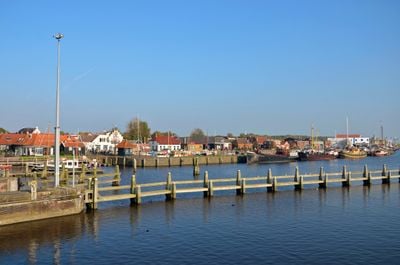
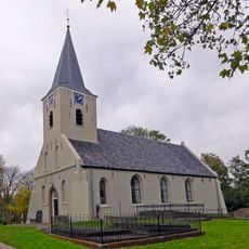
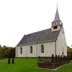
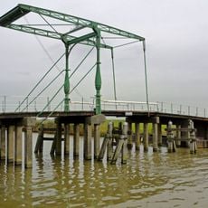
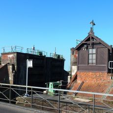
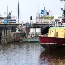
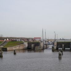
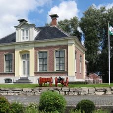
Zoutkamp is a small village in northern Netherlands in Het Hogeland municipality, situated along the Reitdiep waterway that connects to the Lauwersmeer lake. The village has around 1200 residents and features a historic harbor with locks like the Reitdiepsluis that regulate water levels and maintain the connection to the lake.

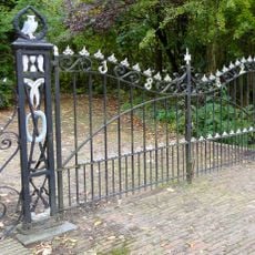
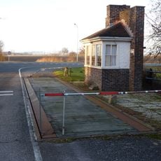
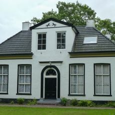
During the Eighty Years' War in the 17th century, the village served as an important fortified position with a defensive earthwork to protect against attacks. Its growth was tied to fishing, which remained the primary livelihood until the closure of the Lauwerszee inlet in the 1960s changed the village's economic focus.

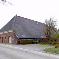
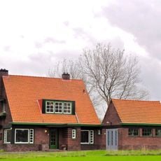
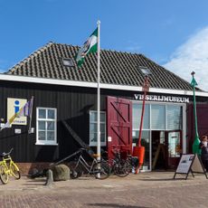
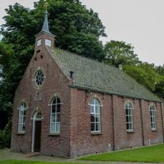
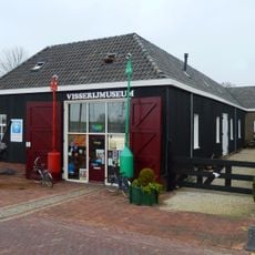
The village's identity is rooted in its fishing past, visible in the colorful harborside houses that recall Scandinavian architecture and the continuing role of fresh fish in local restaurants and markets. These buildings and customs reflect how the sea shaped the community's way of life for generations and continues to define its character today.

The village is easily reached by local buses and has several small restaurants and shops at the harbor where fresh fish is available. Visitors can explore the narrow streets on foot or by bicycle and rent boats to navigate the waterways.

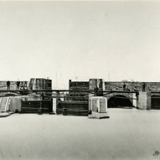
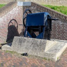
The Zoutkamperril, a small water fortification in the harbor, shows how the village defended its waterways and trade in earlier times. This unusual defensive structure set in the water remains a quiet reminder of the village's strategic past.

Location: Het Hogeland

Website: http://zoutkamp.net

GPS coordinates: 53.33750,6.30310

Latest update: January 9, 2026 12:06

Photos
Top sights in the Netherlands: off-the-beaten-path places, historic villages and typical scenery

The Netherlands show their best features outside the big cities. This collection takes you to the islands in the North Sea like Texel, Terschelling, or Ameland, where wind, dunes, and tides shape daily life. You will also see the 18th-century windmill rows in Kinderdijk, fishing villages like...

Reviews

Visited this place? Tap the stars to rate it and share your experience / photos with the community! Try now! You can cancel it anytime.

« Zoutkamp - farm village in the Netherlands » is provided by Around Us (aroundus.com). Images and texts are derived from Wikimedia project under a Creative Commons license. You are allowed to copy, distribute, and modify copies of this page, under the conditions set by the license, as long as this note is clearly visible.

Discover hidden gems everywhere you go!

From secret cafés to breathtaking viewpoints, skip the crowded tourist spots and find places that match your style. Our app makes it easy with voice search, smart filtering, route optimization, and insider tips from travelers worldwide. Download now for the complete mobile experience.

Around Us App Screenshot

A unique approach to discovering new places

Le Figaro

All the places worth exploring

France Info

A tailor-made excursion in just a few clicks

20 Minutes