
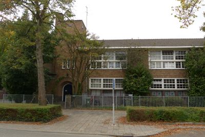
Schoolgebouw Christelijk Nationale Schoolvereeniging, Schulgebäude in den Niederlanden
Location: Eindhoven
Address: Galileïstraat 2
GPS coordinates: 51.45139,5.45836
Latest update: March 3, 2025 05:27
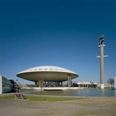
Evoluon
1.2 km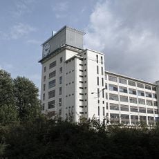
Klokgebouw
780 m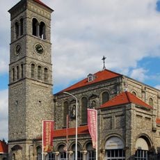
Steentjeskerk
1.5 km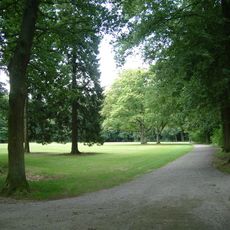
Philips de Jongh Wandelpark
1.2 km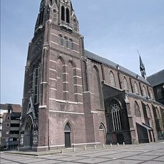
Sint Petruskerk
937 m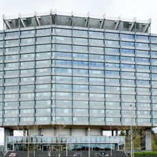
Former Philips head office
1 km
Jewish cemeteries in Eindhoven
110 m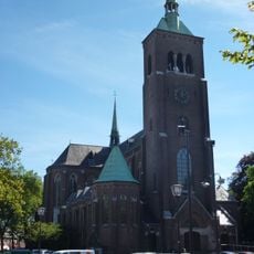
Sint Trudokerk
1.2 km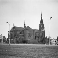
Voormalige Antonius van Padua- of Fellenoordkerk
1.3 km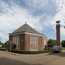
Maranathakerk
1.2 km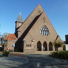
Pastoor van Arskerk
860 m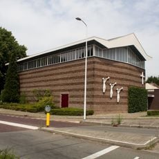
Baptist church
100 m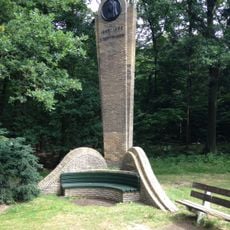
Wilhelminamonument
1 km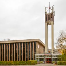
Emmaüskerk
1.4 km
Philipsdorp
999 m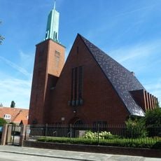
Schootsekerk
830 m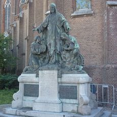
Statue of Sacred Heart of Jesus Christ
1.2 km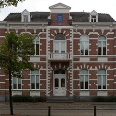
Raadhuis van Woensel
892 m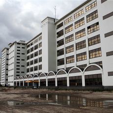
Philips SK building
780 m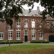
Gemeenschapshuis (voormalige pastorie St. Petruskerk)
953 m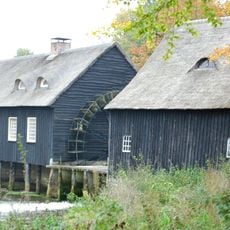
Stuw van de Hooydonkse watermolen
620 m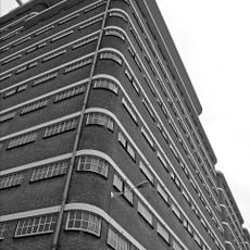
Veem building
780 m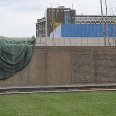
Monument voor de Gevallenen
769 m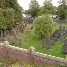
Joods kerkhof
523 m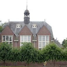
Kapel, thans conferentieoord (de Grote Beek)
620 m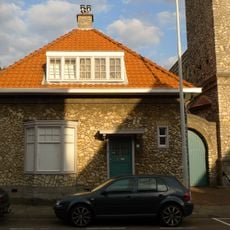
Kosterswoning bij Steentjeskerk
1.5 km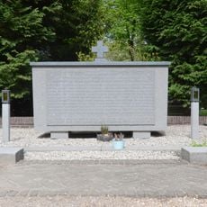
Monument op begraafplaats ‘Fellenoord’
580 m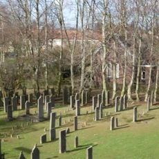
Eindhoven-Woensel Jewish Cemetery
91 mVisited this place? Tap the stars to rate it and share your experience / photos with the community! Try now! You can cancel it anytime.
Discover hidden gems everywhere you go!
From secret cafés to breathtaking viewpoints, skip the crowded tourist spots and find places that match your style. Our app makes it easy with voice search, smart filtering, route optimization, and insider tips from travelers worldwide. Download now for the complete mobile experience.

A unique approach to discovering new places❞
— Le Figaro
All the places worth exploring❞
— France Info
A tailor-made excursion in just a few clicks❞
— 20 Minutes