Lásseguoika, rapids in Kautokeino, Finnmark, Norway
Location: Kautokeino Municipality
GPS coordinates: 69.27791,23.59996
Latest update: November 1, 2025 09:59
Reisa National Park
65 km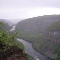
Sautso
54.5 km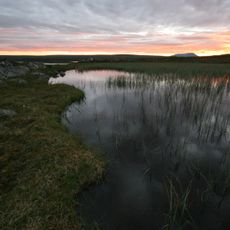
Anárjohka National Park
65 km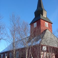
Kautokeino Church
37.6 km
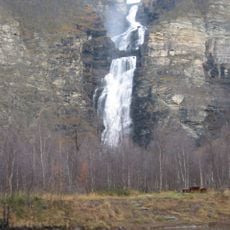
Mollisfossen
70.1 km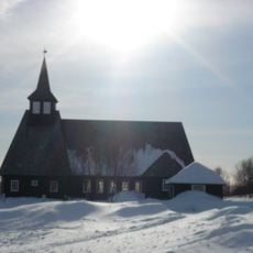
Masi Church
18.6 km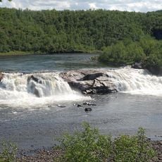
Pikefossen
2.8 km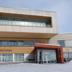
Diehtosiida
36.8 km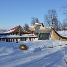
Juhls' Silvergallery
38.8 km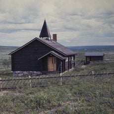
Šuoššjávri Chapel
28 km
Sami Siida
73.9 km
Kautokeino Cultural Centre
36 km
Mathisdalen
70.9 km
Dog Sledding
68.9 km
Scenic viewpoint
48.5 km
Dog Sledding
68.9 km
Trasti & Trine Lodges & Cabins
69 km
Juhls' Silver Gallery
38.8 km
Tile, Work of art
38.8 km
Utsiktspunkt på Skoddevarre
73 km
Leamsejavrrit
46.3 km
Scenic viewpoint
48.3 km
Scenic viewpoint
62.9 km
Alta Canyon
54.7 km
Scenic viewpoint
66.6 km
Alta Canyon
52.4 km
Seterkumpen
70.8 km
Utsikt Kåfjord
71.2 kmReviews
Visited this place? Tap the stars to rate it and share your experience / photos with the community! Try now! You can cancel it anytime.
Discover hidden gems everywhere you go!
From secret cafés to breathtaking viewpoints, skip the crowded tourist spots and find places that match your style. Our app makes it easy with voice search, smart filtering, route optimization, and insider tips from travelers worldwide. Download now for the complete mobile experience.

A unique approach to discovering new places❞
— Le Figaro
All the places worth exploring❞
— France Info
A tailor-made excursion in just a few clicks❞
— 20 Minutes