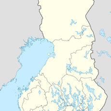
Kautokeino Municipality, municipality in Finnmark, Norway
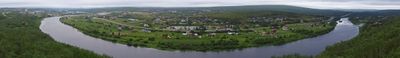
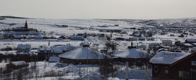
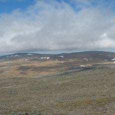
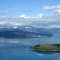
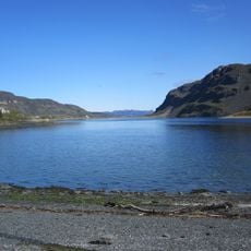
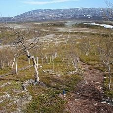
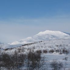
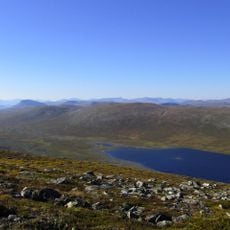
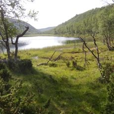
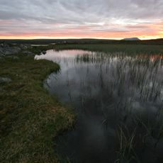
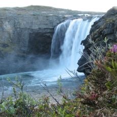
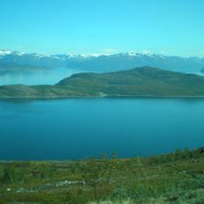
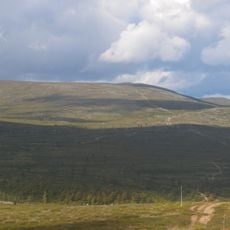
Kautokeino Municipality is Norway's largest by area and located on the Finnmark Plateau in northern Norway above the Arctic Circle. The landscape is mostly flat with numerous lakes and rivers that freeze over in winter, while the sky feels wide and open.
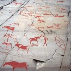
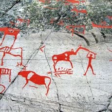
The area was ice-free for about 10,500 years after the last Ice Age, with archaeological finds of tools and arrowheads over 7,000 years old. The Sami have moved nomadically across the land for centuries, following reindeer herds for food and resources.
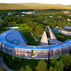
Kautokeino is a center of Sami culture where more than nine of every ten residents speak Sami as their first language. The language is present everywhere - in shops, schools, and community events - and many people wear colorful traditional clothing during festivals and holidays.
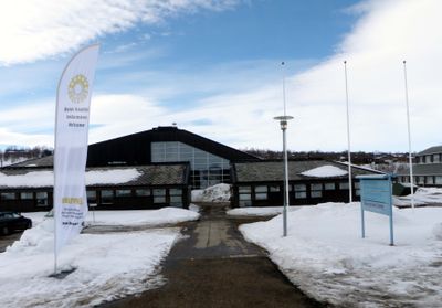
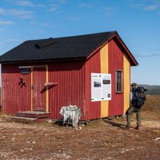
The nearest airport is in Alta, about 2 hours away by car, and daily buses connect Kautokeino to Alta and other towns in the region. Accommodation options include campsites, cabins, and hotels, making it relatively straightforward to plan a visit.
During winter, the polar night lasts about six weeks with the sun remaining below the horizon, while the midnight sun in summer lasts nearly three months. These extreme light conditions shape daily life and enable unique experiences like watching the Northern Lights in darkness or experiencing continuous daylight.
The community of curious travelers
AroundUs brings together thousands of curated places, local tips, and hidden gems, enriched daily by 60,000 contributors worldwide.