Reisa National Park, National park in Nordreisa, Norway.
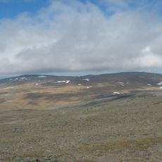
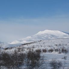
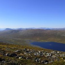
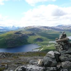
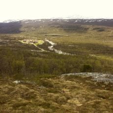
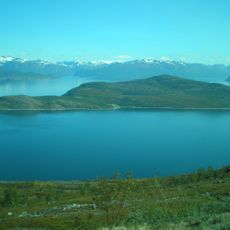
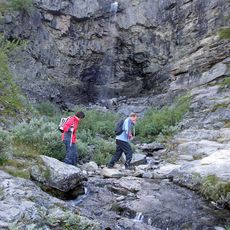
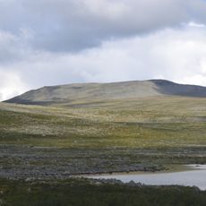
Reisa National Park is a large protected area in northern Norway centered on a deep river valley where the Reisa River cuts through granite bedrock and creates multiple waterfalls. The landscape includes steep valley walls, rocky terrain, and rushing water that shapes the terrain throughout the park.
The park was established in 1986 to protect a landscape where people have hunted and lived for thousands of years. Archaeological findings show ancient hunting sites and settlements scattered through the valley, revealing deep roots of human presence in this remote corner of northern Norway.
The Sámi people have long used this territory for reindeer herding, and you can see how their traditional practices shape the landscape. Their seasonal movements follow ancient patterns that remain visible through the valleys and highlands.
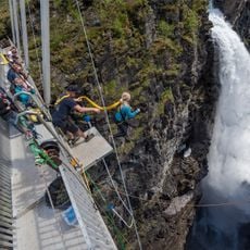
You can explore the park on foot using marked trails that follow the river valley at different difficulty levels. Wear sturdy footwear and bring layers, as the terrain is rocky and weather can change quickly in this northern landscape.
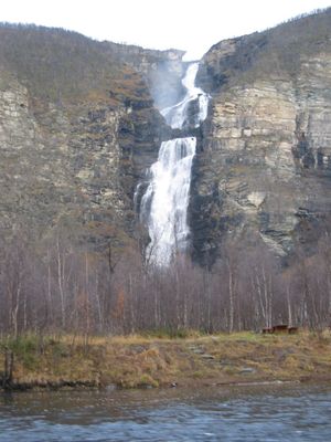
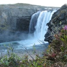
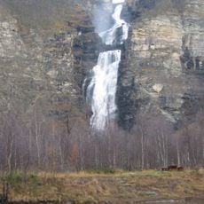
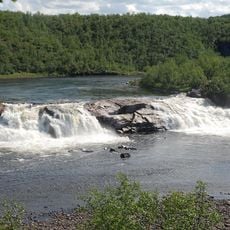
The Mollisfossen waterfall plunges roughly 270 meters (900 feet) through multiple cascades, ranking among the highest waterfalls in Northern and Western Europe. This chain of falls is only accessible from the river or through specialized hikes, remaining hidden from most casual visitors.
The community of curious travelers
AroundUs brings together thousands of curated places, local tips, and hidden gems, enriched daily by 60,000 contributors worldwide.