Enable Location

We need your location to show you interesting places around you

Discover nearby places

Find interesting locations and hidden gems around you

Precise directions

Get accurate directions and distances to places

Your location is never shared with other users. It's only used when you tap the location button.

Kåfjorden

Log in to your account

Start exploring — it's free

Trusted by 63,012 travelers worldwide

Continue with Google
Continue with Apple
or

We will send you a code to connect

By continuing, you accept our Terms and Conditions and our Privacy Policy

Check your inbox

We've sent a pincode in your inbox. Please enter the code below.

Kåfjorden
Discussion Reviews 1 Photos
5.6k Popularity

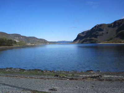
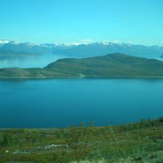
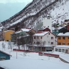
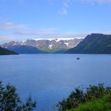
Kåfjorden, Fjord and mining settlement in Alta, Norway

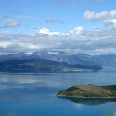
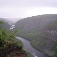
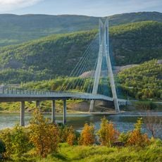
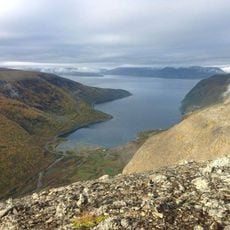
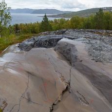
Kåfjorden is an 8-kilometer-long fjord that branches from Altafjorden and features steep cliffs with deep water along its edges. The waterway today is crossed by a bridge built in 2013, which carries European route E6 across the fjord.

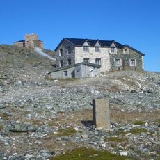
The settlement began when copper mining started in 1826, bringing thousands of workers, especially from Cornwall in England, to this fjord region. Mining operations ended in 1909, marking the close of a prosperous period that had transformed the area.

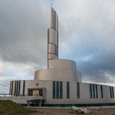
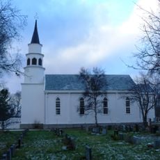
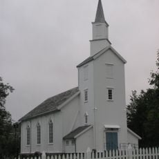
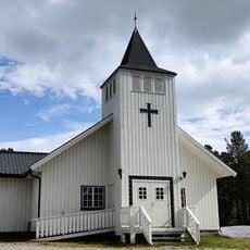
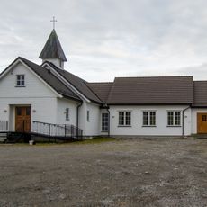
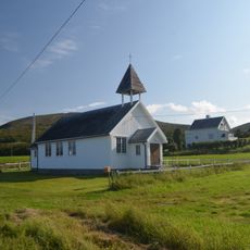
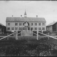
The Kåfjord Church built in 1837 shows British architectural style and reflects the community of English miners who lived here. The building shapes the local landscape today and tells the story of when foreigners came to work in this remote place.

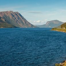
Visitors cross the fjord on the E6 bridge, which offers views of the water and cliffs from the road above. Stopping points near the bridge and along the main route allow time to see the landscape properly.

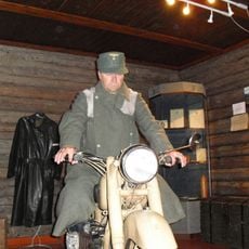
The German battleship Tirpitz anchored in Kåfjorden during World War II and was attacked by British midget submarines in 1943. This event made the fjord a center of dramatic naval action that people still discuss today.

The community of curious travelers

AroundUs brings together thousands of curated places, local tips, and hidden gems, enriched daily by 60,000 contributors worldwide.

Start exploring
Location
GPS coordinates
69.93889,23.02861
Latest update
December 10, 2025 16:24
Reviews
Share your experience

No review yet

Discussions
Start a discussion...

No discussion yet

« Kåfjorden - Fjord and mining settlement in Alta, Norway » is provided by Around Us (aroundus.com). Images and texts are derived from Wikimedia project under a Creative Commons license. You are allowed to copy, distribute, and modify copies of this page, under the conditions set by the license, as long as this note is clearly visible.

Discover hidden gems everywhere you go!

From secret cafés to breathtaking viewpoints, skip the crowded tourist spots and find places that match your style. Our app makes it easy with voice search, smart filtering, route optimization, and insider tips from travelers worldwide. Download now for the complete mobile experience.

Around Us App Screenshot

A unique approach to discovering new places

Le Figaro

All the places worth exploring

France Info

A tailor-made excursion in just a few clicks

20 Minutes

Around Us
Travel Guide & Maps
Download

Send to your phone

QR Code
1

Open the camera app on your mobile.

2

Point at the QR code with your camera. A notification will appear.

3

Tap the notification to open the link.