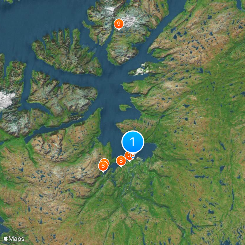
Alta, Administrative center in Finnmark, Norway.
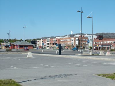
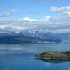
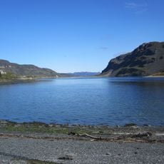
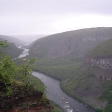
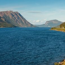
Alta sits along the Altafjord and spreads across several settlements along the coast and inland, where residential areas and public facilities scatter across a wide territory. The built-up area ranges from small hamlets to the main town, which sits at a wide river mouth and is surrounded by mountains.
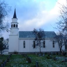
The municipality was established in 1863 and laid the foundation for the administrative structure of the region. During World War II, parts of the settlements were destroyed, and reconstruction followed in the postwar years.
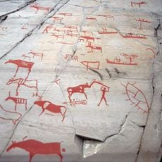
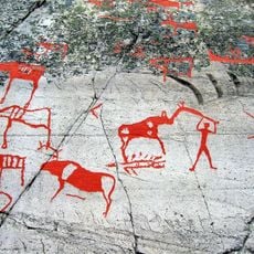
The name comes from the Sami word Álttá, referring to the river current, and shows the connection between landscape and ancient language. In winter, the sun stays below the horizon for several weeks, while in summer it never sets, and this light shapes the daily rhythm of those who live here.
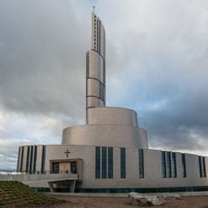
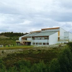
The airport grounds are located a few kilometers from the center, and from there roads lead to the different settlements along the fjord. Healthcare facilities and schools are in the main town, while smaller hamlets are scattered across the municipal area.
Every year in January, a hotel is built entirely from ice and snow on the riverbank, and it stands until spring when the temperature melts it away again. The construction requires a new build each season, as the walls and furniture are made of frozen water.
The community of curious travelers
AroundUs brings together thousands of curated places, local tips, and hidden gems, enriched daily by 60,000 contributors worldwide.