
Nøtterøy vestre 2
Location: Færder Municipality
GPS coordinates: 59.22944,10.38414
Latest update: March 10, 2025 15:20
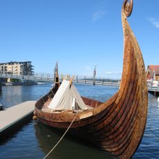
Saga Oseberg
4.1 km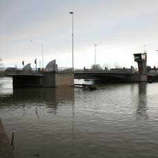
Tønsberg canal bridge
3.9 km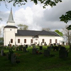
Nøtterøy Church
1.3 km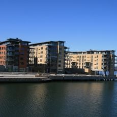
Kaldnes
3.9 km
Signaturen
4.2 km
Borgheim ungdomsskole
1.3 km
Vear Church
3.7 km
Svend Foyns arbeiderboliger
4.3 km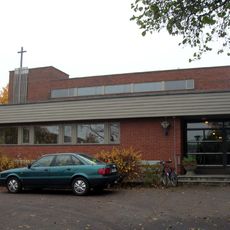
Teie Church
3 km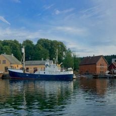
Tønsberg Kystkultursenter
3.9 km
Nøtterøy prestegård
1.1 km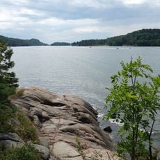
Vestfjorden
1.9 km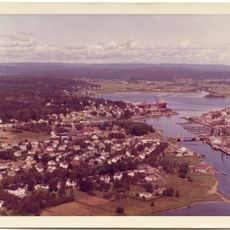
Nøtterø Haveby
3.1 km
Nøtterøy golfbane
846 m
Melsomvikkirken
3 km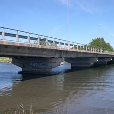
Ekenessundet bru
3 km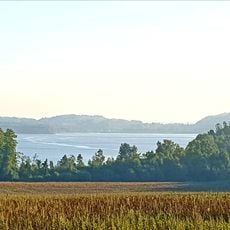
Akersvannet
3.8 km
Kyste
3.3 km
Melsom
2.6 km
Robergvannet
2.3 km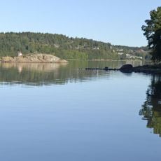
Kausen
2.1 km
Kaldnes bru
4.2 km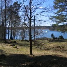
Hella
160 m
Teigar, Teie
3.8 km
Bygrunn, Teie
3.8 km
Britanniagården
4.3 km
Semsåsen
2.6 km
EKENES VESTRE
2.7 kmReviews
Visited this place? Tap the stars to rate it and share your experience / photos with the community! Try now! You can cancel it anytime.
Discover hidden gems everywhere you go!
From secret cafés to breathtaking viewpoints, skip the crowded tourist spots and find places that match your style. Our app makes it easy with voice search, smart filtering, route optimization, and insider tips from travelers worldwide. Download now for the complete mobile experience.

A unique approach to discovering new places❞
— Le Figaro
All the places worth exploring❞
— France Info
A tailor-made excursion in just a few clicks❞
— 20 Minutes