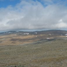
Merkestein
Location: Nordreisa Municipality
GPS coordinates: 69.64133,21.32072
Latest update: November 2, 2025 11:07
Halti
37.2 km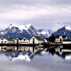
Hamnnes
33.4 km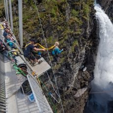
Gorsa Bridge
29.9 km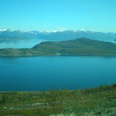
Kvænangen
31.9 km
Sjit helvedes kåken
32.9 km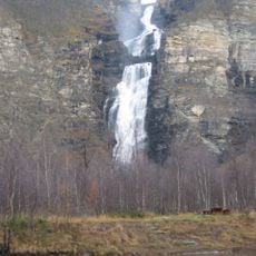
Mollisfossen
37 km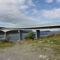
Sørstraumen Bridge
31 km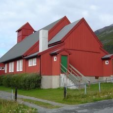
Kåfjord Church
30.3 km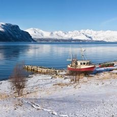
Kåfjorden
25.6 km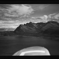
Meiland
40.9 km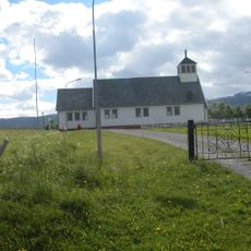
Sekkemo Church
32.3 km
Badderfjord
34.4 km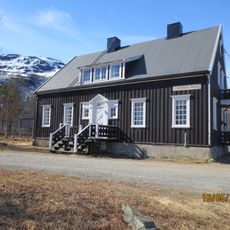
Nord-Troms Museum
18.3 km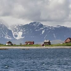
Straumfjorden
23.2 km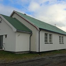
Oksfjord kapell
29.7 km
Kalvehollet
33.9 km
Minnesmerke
24.3 km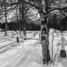
Sandeng hjelpekirkegård
32.4 km
Skipet
37.3 km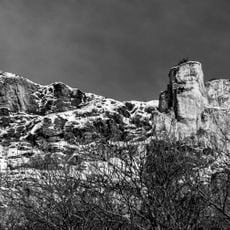
Jiehtanas
36.7 km
Birtavarre
25.2 km
Årølandet
32.2 km
303B - Finland's highest point
37.2 km
Scenic viewpoint
33.1 km
Utsikten
18.3 km
Scenic viewpoint
32.6 km
Scenic viewpoint
23.1 km
Scenic viewpoint
30.6 kmReviews
Visited this place? Tap the stars to rate it and share your experience / photos with the community! Try now! You can cancel it anytime.
Discover hidden gems everywhere you go!
From secret cafés to breathtaking viewpoints, skip the crowded tourist spots and find places that match your style. Our app makes it easy with voice search, smart filtering, route optimization, and insider tips from travelers worldwide. Download now for the complete mobile experience.

A unique approach to discovering new places❞
— Le Figaro
All the places worth exploring❞
— France Info
A tailor-made excursion in just a few clicks❞
— 20 Minutes