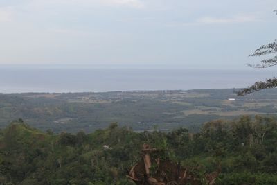
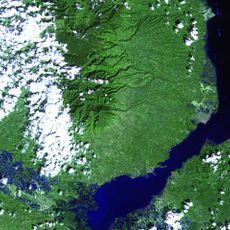
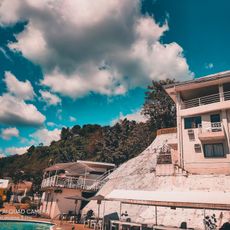
Moro Gulf, Coastal gulf in Mindanao, Philippines.
Moro Gulf is a coastal water body situated between Mindanao and the Zamboanga Peninsula, forming a major connection to the Celebes Sea. The gulf has varying depths and supports significant maritime activity, with major shipping routes passing through its waters.
The region experienced a severe magnitude 8.0 earthquake in 1976 that generated tsunami waves and caused significant loss of life. This event fundamentally changed understanding of seismic hazards affecting communities in this area.
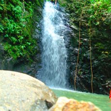
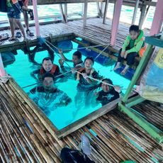
Local fishing communities have sustained their way of life along these shores for generations, relying on tuna and other fish species as their main livelihood. The fishing practices you see here remain central to how people in the region support themselves and their families.
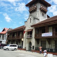
Access to the gulf varies depending on weather and sea conditions, so checking local forecasts before visiting coastal areas is important. Zamboanga City and Cotabato City serve as the main entry points, with better-equipped ports and more established visitor facilities.
Multiple fault zones lie beneath the gulf's waters, creating ongoing seismic activity that makes this one of the most geologically active regions of the Philippines. These underground fractures shape the area's character even though visitors cannot see them directly.
The community of curious travelers
AroundUs brings together thousands of curated places, local tips, and hidden gems, enriched daily by 60,000 contributors worldwide.