Prostki, Rural village in Warmian-Masurian Voivodeship, Poland
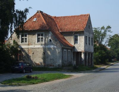
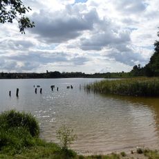
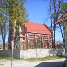
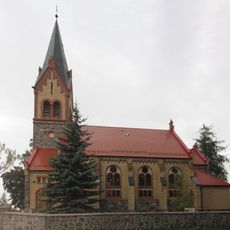
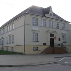
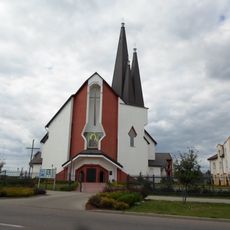
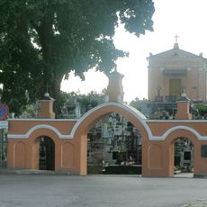
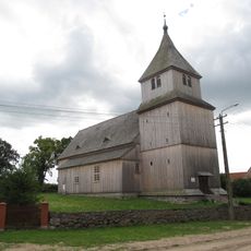
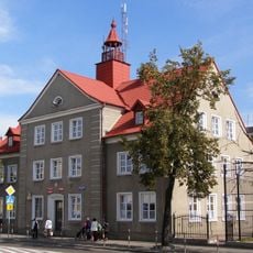
Prostki is a village in Warmian-Masurian Voivodeship in northeastern Poland, serving as the administrative center of Gmina Prostki in Elk County. The settlement sits in a landscape defined by agricultural fields and modest buildings that create the character of a rural community.
The village gained military significance in 1656 when Polish forces under Wincenty Korwin Gosiewski defeated Swedish and Brandenburg armies in a battle that shaped regional history. During World War II, two labor camps of the Reich Labour Service operated here, marking a difficult chapter in the settlement's past.
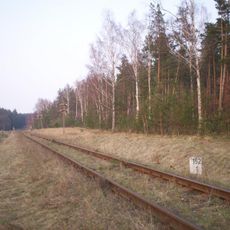
Agriculture shapes how people spend their days here, with farming practices rooted in local knowledge passed down through families. The community maintains traditional ways of working the land and observing seasonal patterns that define rural life.
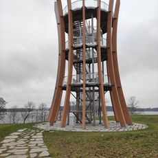
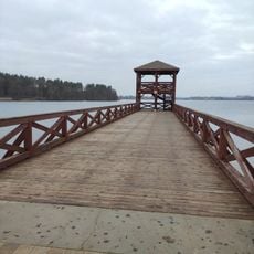
The village connects to regional roads and transportation routes that link to larger centers in the area. Visitors should expect basic services and amenities typical of rural settlements, making it suitable for those interested in exploring the Polish countryside.
The settlement was the site of a decisive military victory that helped shape the fate of the region during a pivotal moment in European history. Few visitors realize that this quiet place holds the memory of such significant events.
Location: Gmina Prostki
Website: https://archive.is/20130218094243/http://www.gok.prostki.info
GPS coordinates: 53.70000,22.41667
Latest update: December 7, 2025 19:26
Ełcka Kolej Wąskotorowa
13.7 km
Boundary marker in Bogusze
2.4 km
Our Lady of Perpetual Help church in Grajewo
8.2 km
Selmęt Mały
12 km
Cmentarz Komunalny i Wojskowy w Ełku
13.4 km
Holy Trinity church in Grajewo
6.4 km
Kasyno oficerskie w Grajewie
7.8 km
St.-Stephans-Kirche
12.1 km
Exaltation of the Holy Cross church in Ostrykół
2.1 km
Church of Our Lady of the Rosary in Bajtkowo
12 km
Wieża ciśnień w Grajewie
5.8 km
Centrum Tradycji Mleczarstwa - Muzeum Mleka
6.9 km
Catholic cemetery in Ełk
13.5 km
12 Szkolna Street in Grajewo
6.7 km
Synagogue in Grajewo
6.6 km
Ioannes Paulus II church in Grajewo
6.8 km
Holy Spirit church in Ełk
13.2 km
Lookout tower in Ełk
12.7 km
Pier with lookout tower in Ełk
12.4 km
Saint Raphael Kalinowski church in Ełk
12.2 km
Barany
10.9 km
Cmentarz parafialny w Grajewie
7.1 km
Kościół ewangelicki, ob. rzym.-kat. Podwyższenia Krzyża
2.1 km
Most I, żelbetowy, (0,756 km)
13.9 km
Kasyno oficerskie
7.5 km
11 Ełcka Street in Grajewo
6.2 km
Cemetery in Grajewo
7.1 km
Plebania w Bajtkowie
11.9 kmVisited this place? Tap the stars to rate it and share your experience / photos with the community! Try now! You can cancel it anytime.
Discover hidden gems everywhere you go!
From secret cafés to breathtaking viewpoints, skip the crowded tourist spots and find places that match your style. Our app makes it easy with voice search, smart filtering, route optimization, and insider tips from travelers worldwide. Download now for the complete mobile experience.
A unique approach to discovering new places❞
— Le Figaro
All the places worth exploring❞
— France Info
A tailor-made excursion in just a few clicks❞
— 20 Minutes