Enable Location

We need your location to show you interesting places around you

Discover nearby places

Find interesting locations and hidden gems around you

Precise directions

Get accurate directions and distances to places

Your location is never shared with other users. It's only used when you tap the location button.

Skarżysko-Kamienna

Log in to your account

Start exploring — it's free

Trusted by 61,462 travelers worldwide

Continue with Google
Continue with Apple
or

We will send you a code to connect

By continuing, you accept our Terms and Conditions and our Privacy Policy

Check your inbox

We've sent a pincode in your inbox. Please enter the code below.

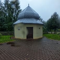
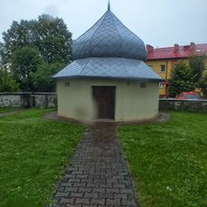
Skarżysko-Kamienna, Industrial municipality in Świętokrzyskie Province, Poland

Description

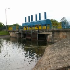
Skarżysko-Kamienna sits along the Kamienna River at roughly 250 meters elevation and forms a central point in the Old Poland Industrial Basin near the Holy Cross Mountains. The town stretches for several kilometers and connects residential and industrial districts that line the flat valley.

History

The settlement changed from a village into an important industrial center starting in 1885 when it became a railway junction on the Ivangorod-Dąbrowa line. The expansion of transport links attracted factories and workers and shaped development well into the 20th century.

Culture

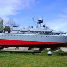
The White Eagle Museum displays military equipment including tanks, aircraft, and uniforms from different periods of Polish history. Visitors can view the collection of weapons and vehicles up close and trace how armament evolved across the centuries.

Practical

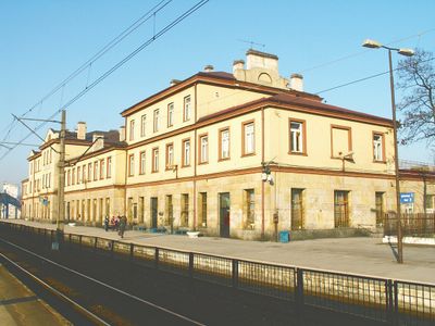
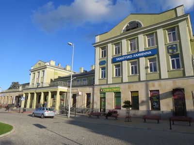
The town sits on the Warsaw-Kraków railway line and serves as an important transport hub with regular connections in different directions. Travelers can easily move around the central areas on foot, while the industrial districts lie a bit further out.

Did you know?

The Rydno Archaeological Reserve within the town borders preserves hundreds of Paleolithic settlement sites discovered between 1923 and 1925. These sites reveal workshops and storage places of early hunter groups who used the valley thousands of years ago.

Inception
1923
Elevation above the sea
250 m
Shares border with
Gmina Szydłowiec, Gmina Skarżysko Kościelne, Gmina Suchedniów, Gmina Bliżyn
GPS coordinates
51.11667,20.88333
Latest update
December 13, 2025 18:21

AroundUs brings together thousands of curated places, local tips, and hidden gems, enriched daily by 60,000 contributors worldwide. Discover all places nearby (Skarżysko County).

« Skarżysko-Kamienna - Industrial municipality in Świętokrzyskie Province, Poland » is provided by Around Us (aroundus.com). Images and texts are derived from Wikimedia project under a Creative Commons license. You are allowed to copy, distribute, and modify copies of this page, under the conditions set by the license, as long as this note is clearly visible.

Discover hidden gems everywhere you go!

From secret cafés to breathtaking viewpoints, skip the crowded tourist spots and find places that match your style. Our app makes it easy with voice search, smart filtering, route optimization, and insider tips from travelers worldwide. Download now for the complete mobile experience.

Around Us App Screenshot

A unique approach to discovering new places

Le Figaro

All the places worth exploring

France Info

A tailor-made excursion in just a few clicks

20 Minutes

Around Us
Travel Guide & Maps
Download

Send to your phone

QR Code
1

Open the camera app on your mobile.

2

Point at the QR code with your camera. A notification will appear.

3

Tap the notification to open the link.