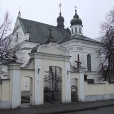
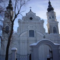
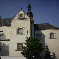
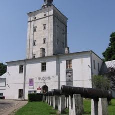
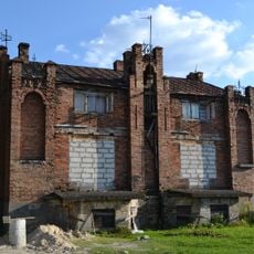
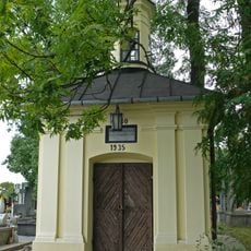
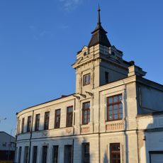
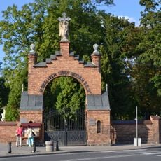
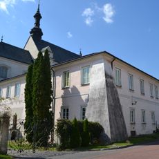
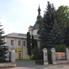
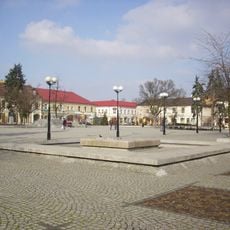
Gmina Biała Podlaska, Rural municipality in Biała Podlaska County, Poland.
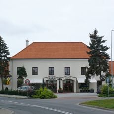
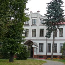
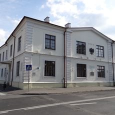
The territory of Gmina Biała Podlaska extends across 324 square kilometers of eastern Poland, encompassing multiple villages and settlements within Biała Podlaska County.
The administrative district underwent significant changes when Biała Podlaska Voivodeship was established in 1975, leading to territorial restructuring and population growth throughout the region.
The municipality maintains close connections with neighboring communities through regular local events that strengthen regional identity and traditions in the Lublin Voivodeship.
Despite sharing its name with the city of Biała Podlaska, which serves as the administrative center, the municipality operates independently and maintains separate governmental functions.
The municipality recorded substantial demographic growth from 12,299 residents in 2006 to 13,848 in 2014, indicating increasing settlement patterns in this eastern Polish region.
Location: Biała Podlaska County
Elevation above the sea: 140 m
Shares border with: Biała Podlaska, Gmina Drelów, Gmina Huszlew, Gmina Janów Podlaski, Gmina Leśna Podlaska, Gmina Łomazy, Gmina Międzyrzec Podlaski, Gmina Piszczac, Gmina Rokitno, Gmina Zalesie
Website: http://gmina.bialapodl.pl
GPS coordinates: 52.03333,23.11667
Latest update: March 13, 2025 22:31
St. Anne's Church, Biała Podlaska
63 m
Church of the Nativity of the Virgin Mary in Biała Podlaska
603 m
Saint Anthony church in Biała Podlaska
325 m
Muzeum Południowego Podlasia w Białej Podlaskiej
263 m
Zakład Karny w Białej Podlaskiej
482 m
Józef Ignacy Kraszewski Bench in Biała Podlaska
167 m
Pomnik św. Michała Archanioła w Białej Podlaskiej
91 m
Nowy cmentarz żydowski w Białej Podlaskiej
637 m
Galeria Ulica Krzywa
280 m
8 Narutowicza Street in Biała Podlaska
280 m
Willa – Dom Architekta
328 m
Saint Roch cemetery chapel in Biała Podlaska
521 m
Budynek gospodarczy
330 m
19 Narutowicza Street in Biała Podlaska
297 m
Dom Strażaka (remiza)
484 m
Ogrodzenie
350 m
D. szpital żydowski
435 m
Akademia Bialska w Białej Podlaskiej
137 m
Stróżówka
555 m
Zespół willi
328 m
Magistrate in Biała Podlaska
144 m
Pawilon
251 m
Zespół domu zajezdnego
233 m
Dom zajezdny
231 m
Brama cmentarza na ul. Janowskiej, Biała Podlaska
502 m
Klasztor, ob. szkoła, k. XVII
341 m
Zespół klasztorny reformatów, poł. XVII
298 m
Układ urbanistyczny – sieć ulic i placów, skala zabudowy miejskiej, założenie zamkowo-obronne, historyczna panorama miasta
186 mReviews
Visited this place? Tap the stars to rate it and share your experience / photos with the community! Try now! You can cancel it anytime.
Discover hidden gems everywhere you go!
From secret cafés to breathtaking viewpoints, skip the crowded tourist spots and find places that match your style. Our app makes it easy with voice search, smart filtering, route optimization, and insider tips from travelers worldwide. Download now for the complete mobile experience.
A unique approach to discovering new places❞
— Le Figaro
All the places worth exploring❞
— France Info
A tailor-made excursion in just a few clicks❞
— 20 Minutes