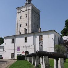
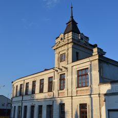
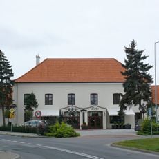
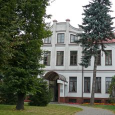
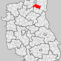
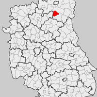
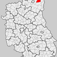
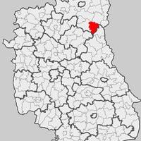
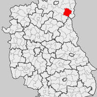
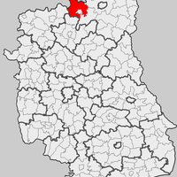
Biała Podlaska County, Administrative district in eastern Lublin Voivodeship, Poland
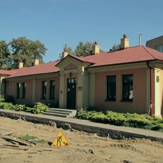
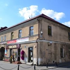
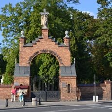
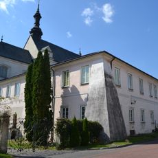
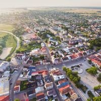
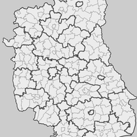
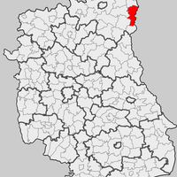
Biała Podlaska County lies in eastern Lublin Voivodeship and covers an area of about 2,750 square kilometers along the Belarus border. It contains 19 municipalities with two larger towns and numerous smaller settlements.
The area took its present form in 1999 following Poland's major administrative reform. This reorganization brought together earlier administrative territories that had been organized differently from 1975 to 1998.
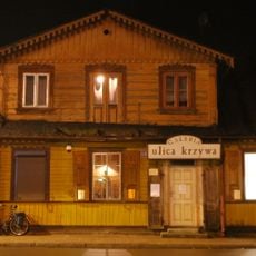
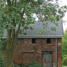
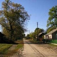
Throughout the municipalities, regional festivals and craft markets celebrate traditional skills and local arts regularly. These gatherings reflect rural life and bring communities together around shared heritage.
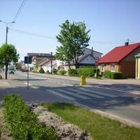
The area is accessible through two main national roads that connect its municipalities and the administrative center. Visitors can easily move between different towns since they are linked by these principal routes.
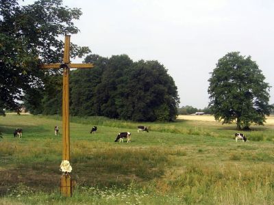
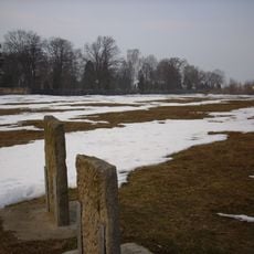
The area is known for its extensive protected natural areas, especially along the Krzna River basin with meadows and forests. These landscapes are typical of eastern Poland and provide habitat for local wildlife.
The community of curious travelers
AroundUs brings together thousands of curated places, local tips, and hidden gems, enriched daily by 60,000 contributors worldwide.