Międzyrzec Podlaski, Urban municipality in Biała Podlaska County, Poland.
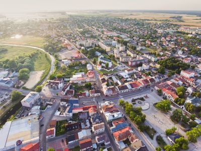
Międzyrzec Podlaski is a town in Biała Podlaska County in eastern Poland, located along the Krzna river and covering approximately 20 square kilometers. The settlement sits at an elevation of 148 meters and is shaped by this riverside location.
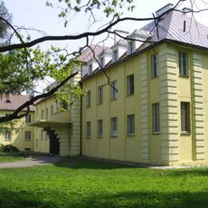
The settlement received urban rights in the 1390s when King Władysław Jagiełło granted the territory to knight Abraham Chamiec from Lesser Poland. This early royal privilege formed the foundation for the town's development as an urban center.
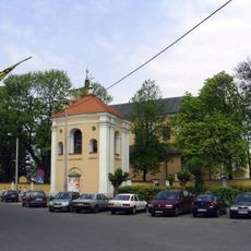
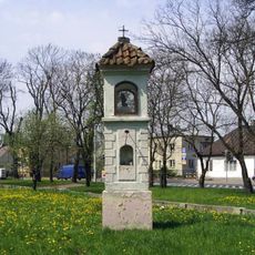
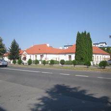
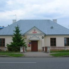
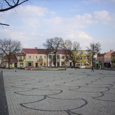
The town center features traditional brick buildings arranged around the main square, their windows and doors decorated with ornate wrought-iron details. These elements reflect local craftsmanship traditions and the identity of a long-settled eastern community.
The town sits along major national roads that link it to larger regional centers. Visitors find a typical eastern small town with a manageable layout and straightforward navigation.
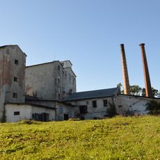
Before World War II, the town was a major export hub for pig bristle products that were sold throughout Europe and Russia. This specialized production brought commercial importance far beyond the region.
The community of curious travelers
AroundUs brings together thousands of curated places, local tips, and hidden gems, enriched daily by 60,000 contributors worldwide.