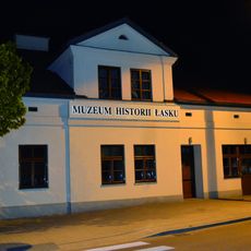
Gmina Łask, Administrative center in Łódź Voivodeship, Poland
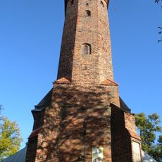
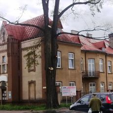
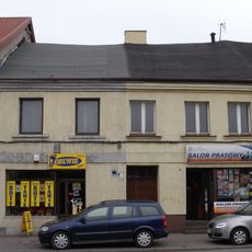
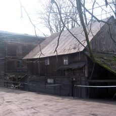
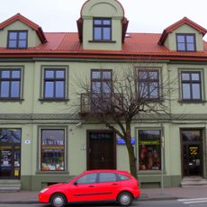
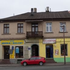
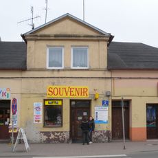
Gmina Łask is an urban-rural municipality in southwestern Poland near the city of Łódź. The area combines residential districts with surrounding villages and agricultural lands that form the county's core settlement pattern.
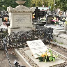
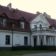
The settlement gained municipal status in the 15th century and grew into a regional center under the patronage of the Łaski family. This noble lineage shaped its development through the medieval and early modern periods.
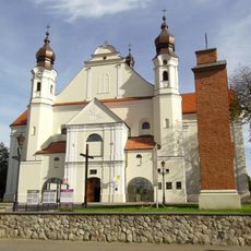
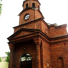
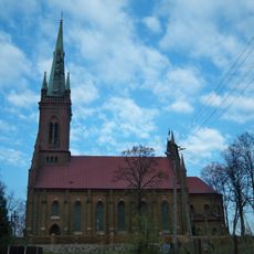
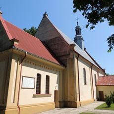
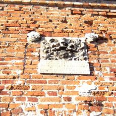
The Gothic collegiate church reflects the religious importance of this place in central Poland. Visitors can observe the detailed architecture from the early 16th century and notice how the wealthy Łaski family influenced the local religious buildings.
The terrain is relatively flat and accessible by road, with convenient connections to nearby Łódź. Visitors should note that certain areas may have restricted access due to the military air base located in the municipality.
The town's coat of arms traces its origins directly to the Łaski noble family, whose legacy remains embedded in the local identity. This connection provides insight into how regional power and land ownership shaped communities during the late medieval period.
Location: Łask County
Capital city: Łask
Shares border with: Gmina Buczek, Gmina Dobroń, Gmina Sędziejowice, Gmina Szadek, Gmina Wodzierady, Gmina Zelów, Gmina Zduńska Wola
Website: http://lask.pl
GPS coordinates: 51.58333,19.13333
Latest update: December 11, 2025 18:10
Collegiate church in Łask
914 m
9 Kolbego Street in Zduńska Wola
11.7 km
Karsznice railway museum
7.9 km
Holy Spirit and Saint Raphael church in Łask
1.2 km
Adalbert of Prague church in Dobroń
9.7 km
Catholic Cemetery in Zduńska Wola
13.4 km
Church of St. John the Baptist in Buczek
9.1 km
Lutheran church in Zelów
13.7 km
Muzeum Historii Miasta Zduńska Wola filia-Skansen Lokomotyw i Urządzeń Technicznych
8.2 km
Muzeum Historii Łasku
711 m
Saints Stanislaus and Nicholas church in Borszewice
8.6 km
Church of the Assumption of the Virgin Mary in Marzenin
7.4 km
Dom św. Maksymiliana Kolbego (dom tkacki)
13.7 km
Water-electric-mill in Wola Marzeńska
6.9 km
Kościuszki 2
883 m
11 Listopada 3
1 km
Bell tower of Adalbert of Prague church in Dobroń
9.7 km
Manor in Sędziejowice
11.4 km
Defence Court in Łopatki
2 km
Watermill in Talar
8 km
11 Listopada 6
989 m
Manor in Ostrów
3.8 km
11 Listopada 2
1 km
11 Listopada 1
1 km
Śluza na rz. Grabi
8 km
Młyn wodny
8 km
11 Listopada 7
979 m
School in Pruszków, gmina Sędziejowice
7.4 kmVisited this place? Tap the stars to rate it and share your experience / photos with the community! Try now! You can cancel it anytime.
Discover hidden gems everywhere you go!
From secret cafés to breathtaking viewpoints, skip the crowded tourist spots and find places that match your style. Our app makes it easy with voice search, smart filtering, route optimization, and insider tips from travelers worldwide. Download now for the complete mobile experience.
A unique approach to discovering new places❞
— Le Figaro
All the places worth exploring❞
— France Info
A tailor-made excursion in just a few clicks❞
— 20 Minutes