Uście Gorlickie, Rural village in Lesser Poland, Poland
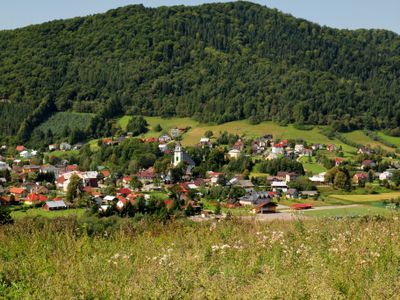
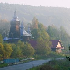
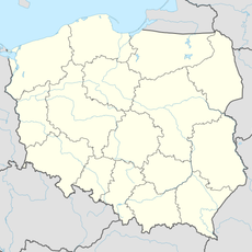
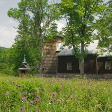
Uście Gorlickie is a rural village in Lesser Poland located in southern Poland, situated among rolling farmland and natural countryside. The settlement serves as the administrative center for a wider network of surrounding communities in the region.
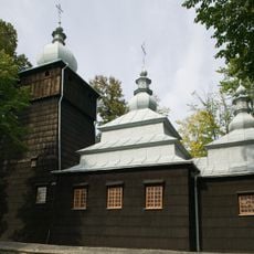
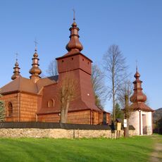
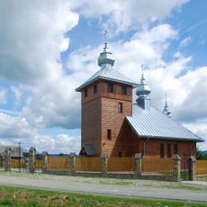
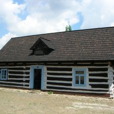
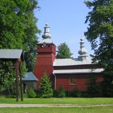
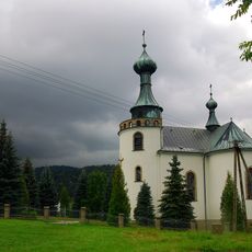
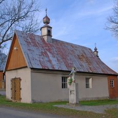
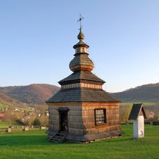
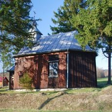
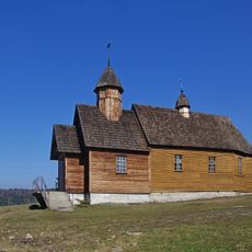
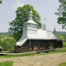
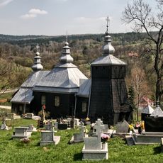
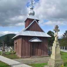
The village developed over centuries as a settlement in the agricultural region of southern Poland and became an important administrative hub. Its location near the Slovak border shaped its connections with neighboring territories across the frontier for much of its history.
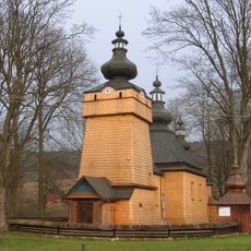
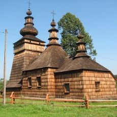
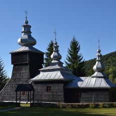
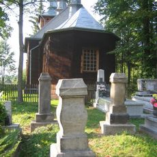
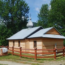
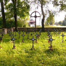
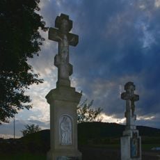
The residents of Uście Gorlickie maintain traditional farming practices and organize regular gatherings that showcase local customs of Lesser Poland region.
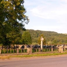
The village sits along local road connections that provide easy access from larger cities in the region. Visitors should expect the infrastructure typical of a rural area, with basic accommodations and straightforward local services.
The village serves as the central administrative hub for roughly two dozen smaller settlements scattered through the surrounding area. This role makes it a key local gathering point for people traveling through the region.
Location: Gmina Uście Gorlickie
GPS coordinates: 49.52167,21.13861
Latest update: December 10, 2025 16:20
Church of the Pokrov in Hańczowa
5.4 km
Saints Cosmas and Damian Church in Skwirtne
5 km
Saint Demetrius church in Czarna
4.5 km
Uniate Saint Paraskeva church in Uście Gorlickie
78 m
Saint Luke church in Kunkowa
3.6 km
Cerkiew św. Paraskewy w Nowicy
4.7 km
World War I Cemetery nr 58 in Przysłup
6.8 km
Saint Luke church in Leszczyny
5.1 km
Church of the Nativity of the Virgin Mary in Łosie
6.5 km
Saint Paraskevi Orthodox church in Kwiatoń
3.2 km
World War I Cemetery nr 59 in Przysłup
6.4 km
Saint Michael Archangel Orthodox church in Regietów
7.3 km
Zagroda Maziarska w Łosiu
6.5 km
Saint Demetrius church in Śnietnica
6.3 km
Church of the Dormition in Klimkówka
6.1 km
World War I Cemetery nr 57 in Uście Gorlickie
303 m
Cerkiew św. Michała Archanioła w Przysłupie
5 km
Saint Michael Archangel Orthodox church in Regietów
7.4 km
World War I Cemetery nr 71 in Łosie
6.6 km
Chapel Cemetery in Łosie
7 km
Nowica, Lesser Poland Voivodeship
4.6 km
Saint Stanislaus chapel in Oderne
2.7 km
Siwejka
6.3 km
Cmentarz
5.4 km
Saint Michael Archangel church in Przysłup
5 km
Paraskevi of Iconium church in Nowica
4.7 km
Cmentarz w Kunkowej
3.6 km
Kaplica cmentarna, XVIII/XIX
351 mVisited this place? Tap the stars to rate it and share your experience / photos with the community! Try now! You can cancel it anytime.
Discover hidden gems everywhere you go!
From secret cafés to breathtaking viewpoints, skip the crowded tourist spots and find places that match your style. Our app makes it easy with voice search, smart filtering, route optimization, and insider tips from travelers worldwide. Download now for the complete mobile experience.
A unique approach to discovering new places❞
— Le Figaro
All the places worth exploring❞
— France Info
A tailor-made excursion in just a few clicks❞
— 20 Minutes