Sucha Góra, Residential district in Bytom, Poland
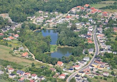
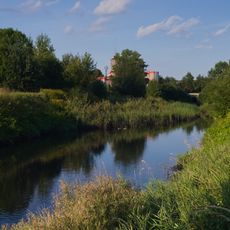
Sucha Góra is the northernmost district of Bytom, featuring large forested areas and protected natural reserves. The neighborhood mixes residential zones with woodland and retains structures from its industrial past.
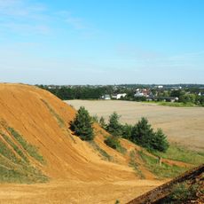
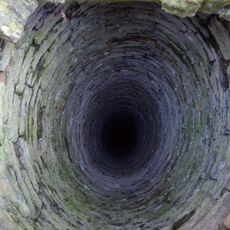
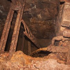
Sucha Góra began in 1778 as a mining settlement focused on extracting calamine and dolomite. The area became part of Poland following the 1922 Upper Silesian Plebiscite after being part of other administrations.
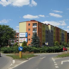
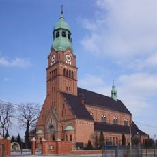
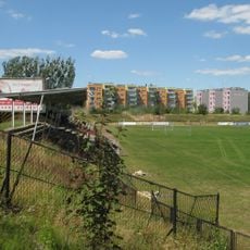
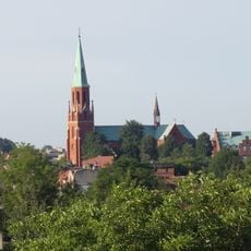
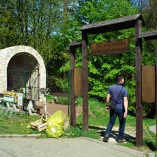
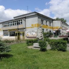
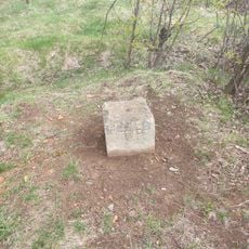
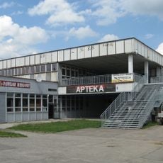
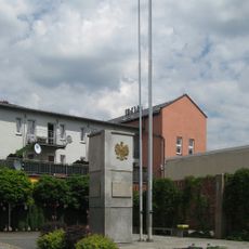
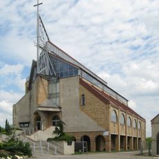
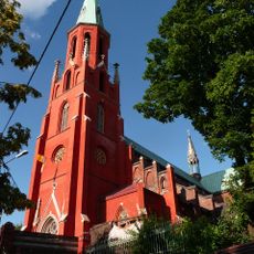
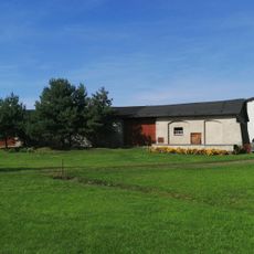
The district shows its mining past through old industrial buildings that stand alongside modern brick housing, creating a blend of different architectural periods across the neighborhood.
The area is served by public transport, with a tram terminus marking the northernmost point of the regional network. Visitors will find the forests easily accessible with paths for walking and exploring the natural areas.
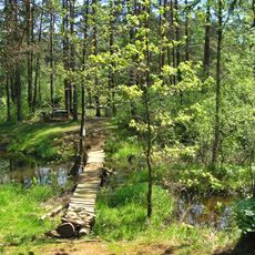
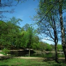
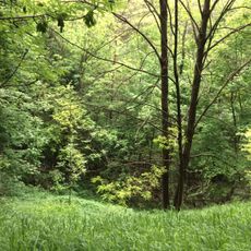
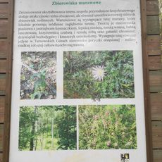
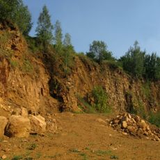
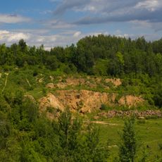
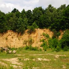
The Segiecki Forest covers nearly half of the district and contains natural rock outcrops alongside abandoned dolomite quarries. These former extraction sites have become part of the landscape and create unexpected geological features within the residential area.
Location: Bytom
GPS coordinates: 50.40330,18.87220
Latest update: December 10, 2025 16:26
Nature reserve Segiet
1.7 km
The Friedrich Mine Washing Tip in Tarnowskie Góry
1.9 km
Rojca
2.3 km
Church of Jesus in Tarnowskie Góry
2.5 km
Park Grota
509 m
Stadion Ruchu Radzionków
1.3 km
Adalbert of Prague church in Radzionków
2.5 km
Suchogórski Labirynt Skalny
672 m
Szarlejka
2.4 km
Saint Michael church in Bytom
327 m
Chapel in Bobrowniki Śląskie
2.3 km
Doły Piekarskie
1.2 km
Saint Joseph church in Bytom
2 km
Karolinka Cultural Center in Radzionków
2.2 km
Kaplica Najświętszej Marii Panny w Bytomiu
13 m
Trockenberg, Sucha Góra
863 m
Miejska Biblioteka Publiczna w Radzionkowie
2 km
Educational trail Doły Piekarskie
1.1 km
Bohr Shaft
2.3 km
Silesian Insurgents' Monument in Radzionków
2.2 km
Kościół św. Stanisława Biskupa i Męczennika w Bytomiu
1.4 km
Bobrowniki dolomite quarry
1.2 km
Peace Shaft
1.6 km
Ogrodzenie z murem oporowym i schodami kościoła św. Wojciecha w Radzionkowie
2.4 km
Folwark Segiet
2.2 km
Chapel on Grundmann Shaft in Tarnowskie Góry-Bobrowniki
2.4 km
Blachówka dolomite quarry
1.2 km
Lazarówka dolomite quarry
1.3 kmVisited this place? Tap the stars to rate it and share your experience / photos with the community! Try now! You can cancel it anytime.
Discover hidden gems everywhere you go!
From secret cafés to breathtaking viewpoints, skip the crowded tourist spots and find places that match your style. Our app makes it easy with voice search, smart filtering, route optimization, and insider tips from travelers worldwide. Download now for the complete mobile experience.
A unique approach to discovering new places❞
— Le Figaro
All the places worth exploring❞
— France Info
A tailor-made excursion in just a few clicks❞
— 20 Minutes