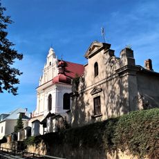
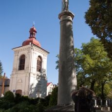
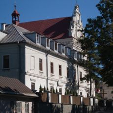
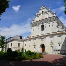
Tatary, Residential district in eastern Lublin, Poland.
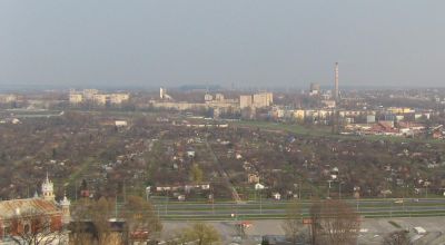
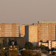
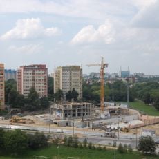
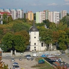
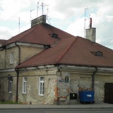
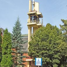
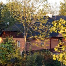
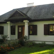
Tatary is a district in eastern Lublin, located along Łęczyńska Street and made up of apartment buildings alongside former industrial structures. The terrain is relatively flat and borders the Bystrzyca River valley, which defines much of its eastern edge.
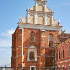
The area was settled in the early 15th century when Tatar communities established themselves here under King Władysław Jagiełło. In the 16th century, quarrying rights granted by King Sigismund I turned the area into a working industrial zone.
The name of the district comes from Tatar settlers who lived here during the medieval period and gave the area its identity. A few street names still carry this reference today, offering a small but tangible connection to that past.
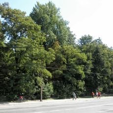
The district is served by several bus routes connecting it to central Lublin, making it easy to reach from other parts of the city. Walking along the Bystrzyca is a straightforward way to explore the greener, river-facing side of the area.
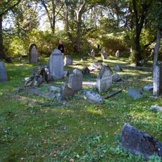
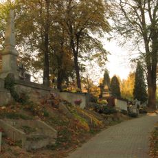
Although the area is mostly residential today, some of the uneven ground in certain spots can be traced back to the stone quarries that operated here for centuries. These small dips and ridges in the terrain are easy to overlook but tell a quiet story about the district's working past.
The community of curious travelers
AroundUs brings together thousands of curated places, local tips, and hidden gems, enriched daily by 60,000 contributors worldwide.