
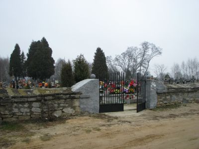
Parish cemetery in Strzegom, Świętokrzystkie Voivodeship, cemetery in Poland
Location: Strzegom, Świętokrzyskie Voivodeship
Inception: 20 century
GPS coordinates: 50.51204,21.31456
Latest update: September 25, 2025 16:40
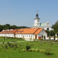
Camaldolese monastery complex in Rytwiany
5.2 km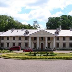
Pałac w Rytwianach
8.9 km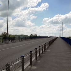
Most w Połańcu
9.5 km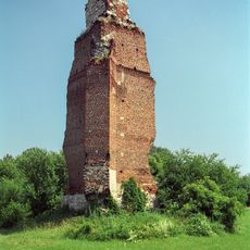
Castle ruins in Rytwiany
8.2 km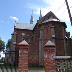
Saint Martin church in Połaniec
8.7 km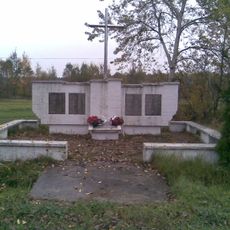
Pacyfikacja wsi Strużki
5.1 km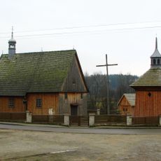
Church of the Visitation in Niekrasów
6.3 km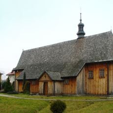
Our Lady of Sorrows church in Strzegom
658 m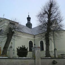
Saint Stanislaus church in Osiek, Świętokrzyskie Voivodeship
9.3 km
Wooden synagogue from Połaniec
9.2 km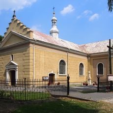
Saint Michael Archangel church in Wiązownica-Kolonia
9.1 km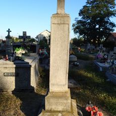
Parish cemetery in Połaniec
8.6 km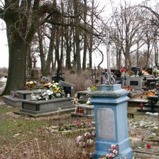
Parish cemetery in Wiązownica-Kolonia
9.2 km
Parish cemetery in Niekrasów
6.2 km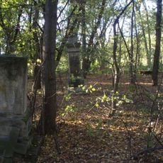
Old parish cemetery in Wiązownica Mała
8.9 km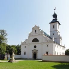
Church of the Annunciation in Rytwiany
5.2 km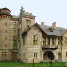
Pałac Dzięki w Wiązownicy-Kolonii
9.6 km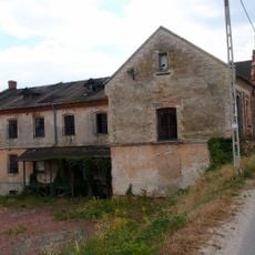
Młyn w Grobli
9.4 km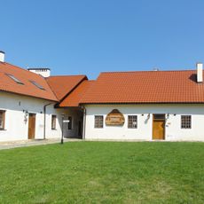
North wing of the Camaldolese monastery in Rytwiany
5.2 km
Zespół pałacowy w Rytwianach
8.9 km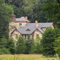
Dzięki palace complex in Wiązownica-Kolonia
9.5 km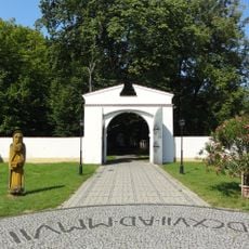
East gate to Camaldolese monastery in Rytwiany
5.2 km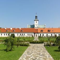
South wing of the Camaldolese monastery in Rytwiany
5.2 km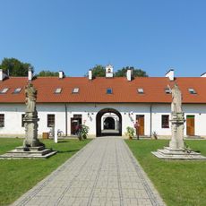
West wing of the Camaldolese monastery in Rytwiany
5.2 km
Mill in Grobla
9.3 km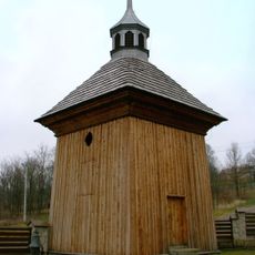
Wooden bell tower in Niekrasów
6 km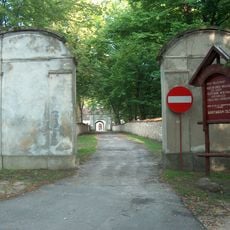
West gate to Camaldolese monastery in Rytwiany
5.3 km
Dom młynarza
9.4 kmVisited this place? Tap the stars to rate it and share your experience / photos with the community! Try now! You can cancel it anytime.
Discover hidden gems everywhere you go!
From secret cafés to breathtaking viewpoints, skip the crowded tourist spots and find places that match your style. Our app makes it easy with voice search, smart filtering, route optimization, and insider tips from travelers worldwide. Download now for the complete mobile experience.

A unique approach to discovering new places❞
— Le Figaro
All the places worth exploring❞
— France Info
A tailor-made excursion in just a few clicks❞
— 20 Minutes