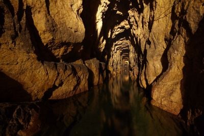
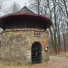
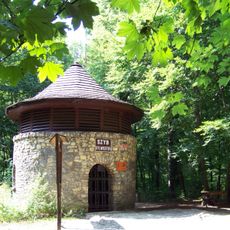
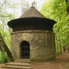
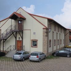
Friedrich Mine Deep Adit, Mining adit in Tarnowskie Góry, Poland.
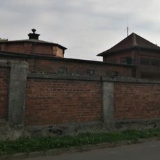
The Friedrich Mine Deep Adit is an underground passage system that links multiple shafts of a historical lead-silver-zinc mining complex beneath Tarnowskie Góry. The tunnels and chambers form the infrastructure that miners created to reach the ore deposits.
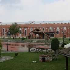
The complex began to flourish in 1787 when rich galena ore was discovered in the area. Under the direction of Friedrich Wilhelm von Reden, it was established as a state-run mining operation and became one of the major sites in Upper Silesian mining.
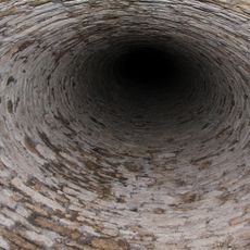
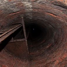
The name comes from Friedrich Wilhelm von Reden, the Prussian mining engineer who directed the operation. The underground tunnels show how people of that era extracted ore and managed water flowing through the mine.
A 600-meter section called the Black Trout Adit opened to public visitors in 1957 and remains the main accessible route through the system. Wear sturdy footwear as the paths can be damp and slippery.
Since the mine closed, its empty chambers and tunnels have become one of Poland's largest bat hibernation sites. Scientists study the cave ecosystem and different bat species that shelter here during winter months.
The community of curious travelers
AroundUs brings together thousands of curated places, local tips, and hidden gems, enriched daily by 60,000 contributors worldwide.