
Taraš, village in Zrenjanin municipality, Serbia
Location: Zrenjanin City
Elevation above the sea: 72 m
GPS coordinates: 45.46750,20.19222
Latest update: March 4, 2025 19:47
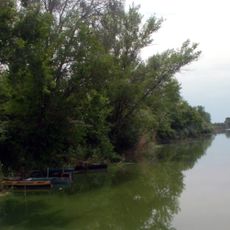
Бисерно острво
12.3 km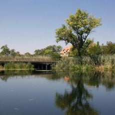
Jegricka Nature Park
15.7 km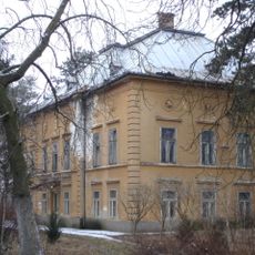
Парк природе Стара Тиса код Бисерног острва
12.2 km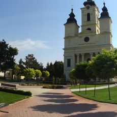
Church of the Holy Ascension
8.9 km
Black Ćuprija
8.4 km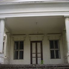
Château Sokolac
11.4 km
Château de Gedeon Rohonczy
13.6 km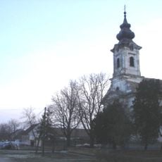
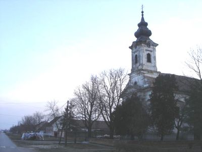
Église Saint-Georges de Taraš
264 mСпецијални резерват природе Ритови доњег Потисја
10.7 km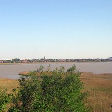
Парк природе Русанда
10 km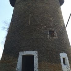
Moulin à vent à Čurug
11.2 km
Église Saint-Nicolas de Žabalj
13.7 km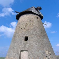
Moulin à vent à Melenci
12.4 km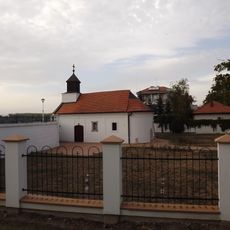
Kapela „Manastir”
14.5 km
Chapelle dans le cimetière de Melenci
10.1 km
Kuća Vladimira Glavaša
15.9 km
Бибићева кућа
11 kmРодна кућа народног хероја Радивоја Ћирпанова
9.4 km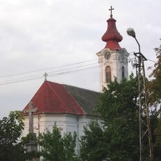
Crkva Svetog Nikole
14.5 km
Maison natale de Svetozar Marković Toza
216 m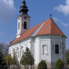
Église Saint-Nicolas de Melenci
11 km
Église de la Transfiguration d'Elemir
8.8 km
Grenier à Novi Bečej
15.6 km
Église des Saints-Archanges de Kumane
8.3 km
Chapelle de la famille Pulai
15.5 km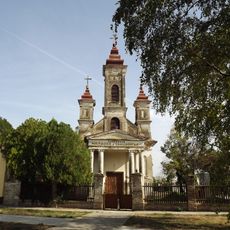
Chapelle Saint-Georges à Novi Bečej
15.6 km
Maison natale de Boško Vrebalov
11 km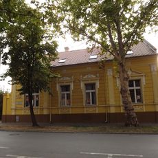
Bibliothèque nationale de Novi Bečej
15.2 kmVisited this place? Tap the stars to rate it and share your experience / photos with the community! Try now! You can cancel it anytime.
Discover hidden gems everywhere you go!
From secret cafés to breathtaking viewpoints, skip the crowded tourist spots and find places that match your style. Our app makes it easy with voice search, smart filtering, route optimization, and insider tips from travelers worldwide. Download now for the complete mobile experience.

A unique approach to discovering new places❞
— Le Figaro
All the places worth exploring❞
— France Info
A tailor-made excursion in just a few clicks❞
— 20 Minutes