
Savković, human settlement
Location: Opština Ljubovija
Elevation above the sea: 765 m
GPS coordinates: 44.18250,19.54690
Latest update: March 9, 2025 05:29
Povlen
16.5 km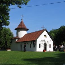
Jovanja Monastery
14.1 km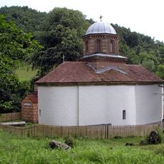
Église Saint-Michel de Tubravić
16.7 km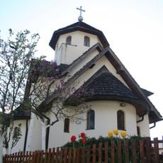
Manastir Soko
13.5 km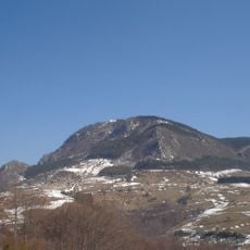
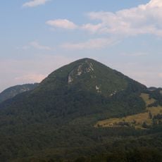
Bobija
1.7 km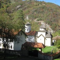
Pustinja
14.4 km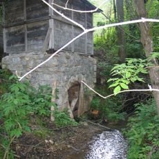
Medvednik
7.9 km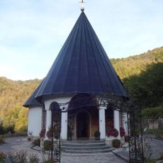
Sase Monastery
15.8 km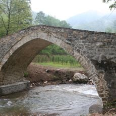
Rimski most
7 km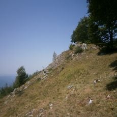
Gvozdačke stene
11.3 km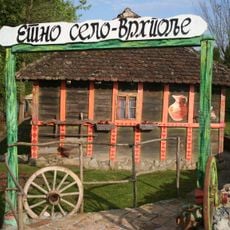
Etno selo Vrhpolje
10.7 km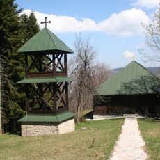
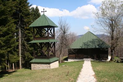
Crkva brvnara na Bobiji
2.5 km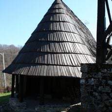
Crkva brvnara
10 km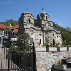
Crkva Preobraženja Gospodnjeg
14 km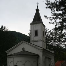
Crkva Vaznesenja Hristovog u Rogačici
17.6 km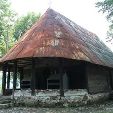
Wooden church, Donja Orovica
6.6 km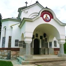
Ossuary Church in Pecka
12.1 km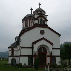
Crkva Sv. Jeremije
10.2 km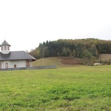
Kirche der Überführung der Reliquien des Hl. Sava
18.6 km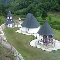
Library of Sasa Monastery
15.8 kmPopovača
8.9 kmGlavica
7.2 kmOrovičko Brdo
6.4 kmRidovi
8.5 kmVršićki Kik
7.1 kmMilovanovica Vis
6.1 kmVasica Vis
11.2 kmLazin Vis
14.3 kmVisited this place? Tap the stars to rate it and share your experience / photos with the community! Try now! You can cancel it anytime.
Discover hidden gems everywhere you go!
From secret cafés to breathtaking viewpoints, skip the crowded tourist spots and find places that match your style. Our app makes it easy with voice search, smart filtering, route optimization, and insider tips from travelers worldwide. Download now for the complete mobile experience.

A unique approach to discovering new places❞
— Le Figaro
All the places worth exploring❞
— France Info
A tailor-made excursion in just a few clicks❞
— 20 Minutes