
Staničenje, village in Pirot District, Serbia
Location: Pirot District
Elevation above the sea: 512 m
GPS coordinates: 43.20310,22.50810
Latest update: March 5, 2025 06:43
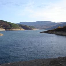
Zavoj Lake
12.4 km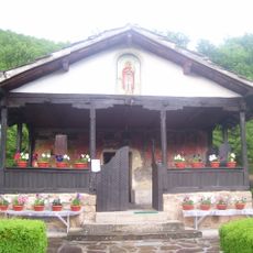
Temska Monastery
8.5 km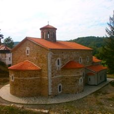
Sukovo Monastery
21.9 km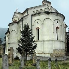
Divljana Monastery
17.6 km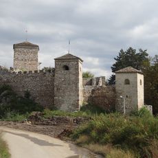
Pirot Fortress
7.7 km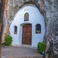
Cave Church, Rsovci
21.8 km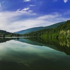
Дивљанско језеро
16.7 km
Museum of Ponišavlje
8 km
Црква Свете Петке у Градашници
7.6 km
Church of the Nativity of Christ, Pirot
8.3 km
Monastère de Gorčince
20.3 km
Pont du bey à Staničenje
1.7 km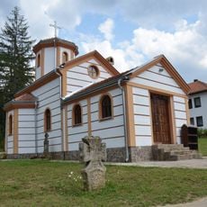
Rsovci Monastery
21.9 km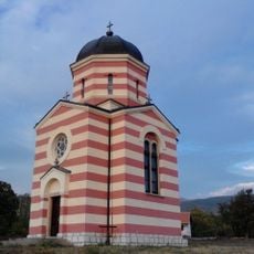
Église Saint-Jean-Glavosek de Krupac
15.8 km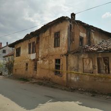
Bâtiment du Chat blanc à Pirot
8 km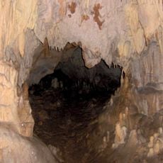
Велика пећина
14.5 km
National Library Pirot
8.3 km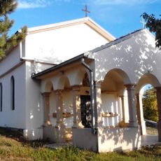
St. Nicholas Church, Krupac
16.4 km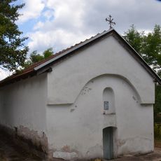
Saint George Church (Osmakova)
10.7 km
Église de l'Ascension de Zavoj
12.3 km
Basarski Kamik
16.5 km
Kitka
13.2 km
Kozji Kamen
15.8 km
Kardašica
2.7 km
Crni Vrh
20.3 km
Belan
20 km
Kisela Kruša
9.7 km
Stara Planina Nature Park
13.3 kmReviews
Visited this place? Tap the stars to rate it and share your experience / photos with the community! Try now! You can cancel it anytime.
Discover hidden gems everywhere you go!
From secret cafés to breathtaking viewpoints, skip the crowded tourist spots and find places that match your style. Our app makes it easy with voice search, smart filtering, route optimization, and insider tips from travelers worldwide. Download now for the complete mobile experience.

A unique approach to discovering new places❞
— Le Figaro
All the places worth exploring❞
— France Info
A tailor-made excursion in just a few clicks❞
— 20 Minutes