
Turski Kamen, جرف في صربيا
Location: Serbia
Elevation above the sea: 908 m
GPS coordinates: 43.99056,21.73083
Latest update: March 10, 2025 23:28
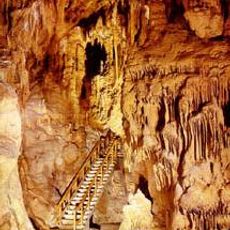
Resava cave
12.2 km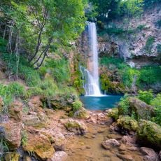
Veliki Buk
14.3 km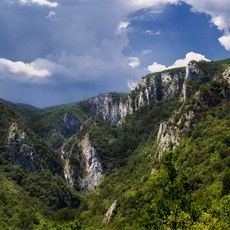
Lazar's Canyon
16.2 km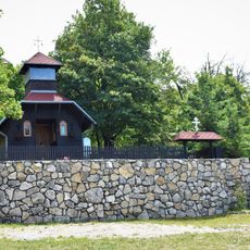
Novi Stenik Monastery
9.1 km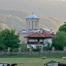
Sisojevac Monastery
12.6 km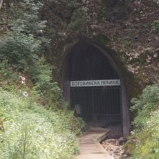
Bogovina Cave
15.9 km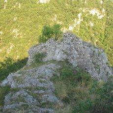
Petrus
17.8 km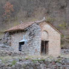
Monastère de Namasija
17.2 km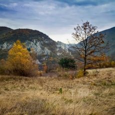
Kučaj-Beljanica Nature Park
5.5 km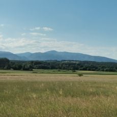
Malinik
14.5 km
Saint John Monastery (Zabrega)
17.9 km
Babina Glava
11.9 km
Prlovo
16.1 km
Tomin Vrh
9.2 km
Belo Brdo
17.8 km
Lipovo Brdo
14.6 km
Vujičko Brdo
14 km
Srednji Vrh
17.6 km
Oštri Vrh
17.6 km
Zdravčić
13.7 km
Ðula (tumoy sa bukid sa Serbya, lat 44,07, long 21,57)
15.4 km
Vršiljak
16 km
Zdravkov Vrh
10.7 km
Ðula (tumoy sa bukid sa Serbya, lat 44,06, long 21,60)
13.2 km
Crven Kam
11.3 km
Ðurđeva Straža
12.1 km
Vrelska Kosa
10.6 km
Komarski Breg
17.5 kmReviews
Visited this place? Tap the stars to rate it and share your experience / photos with the community! Try now! You can cancel it anytime.
Discover hidden gems everywhere you go!
From secret cafés to breathtaking viewpoints, skip the crowded tourist spots and find places that match your style. Our app makes it easy with voice search, smart filtering, route optimization, and insider tips from travelers worldwide. Download now for the complete mobile experience.

A unique approach to discovering new places❞
— Le Figaro
All the places worth exploring❞
— France Info
A tailor-made excursion in just a few clicks❞
— 20 Minutes