Chest opened
+${chestReward.xp} XP
Explorer
NOUVEAU ×${chestReward.collectible.quantity}
tapez pour fermer
Chest locked

Open chests in the app

Around Us is built for your phone — chests unlock when you walk, explore and capture nearby places.

Enable Location

We need your location to show you interesting places around you

Discover nearby places

Find interesting locations and hidden gems around you

Precise directions

Get accurate directions and distances to places

Your location is never shared with other users. It's only used when you tap the location button.

Dyurtyuli

Log in to your account

Start exploring — it's free

Trusted by 72,887 travelers worldwide

Continue with Google
Continue with Apple
or

We will send you a code to connect

By continuing, you accept our Terms and Conditions and our Privacy Policy

Check your inbox

We've sent a pincode in your inbox. Please enter the code below.

Discussion Reviews 1 Photos
33.1k Popularity

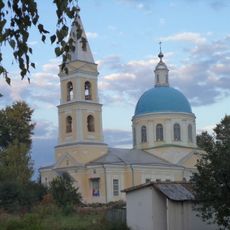
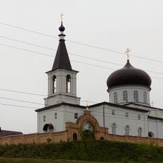
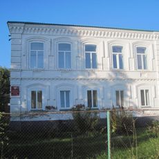
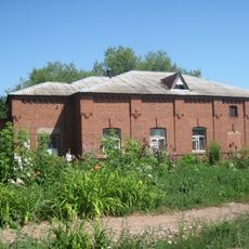
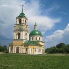
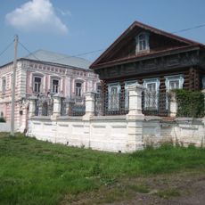
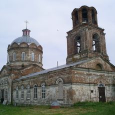
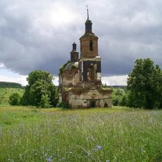
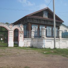
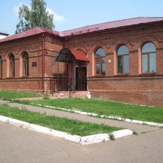
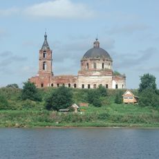
Dyurtyuli, Administrative center in Republic of Bashkortostan, Russia

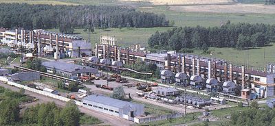
Dyurtyuli is a town in the Republic of Bashkortostan located on the left bank of the Belaya River, roughly 126 kilometers northwest of Ufa. This administrative center of the surrounding district sits at an elevation of about 100 meters above the river level.

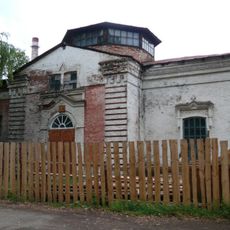
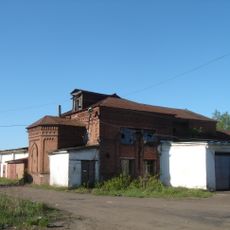
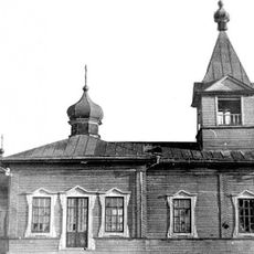
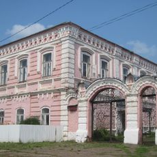
The town was founded in 1795 as a settlement and gained urban-type classification in 1964. It received its official town status in 1989.

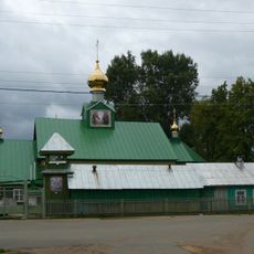
The town is home to several ethnic groups whose presence shapes daily life in the streets and neighborhoods. This mix of people influences how the place feels and how communities interact here.

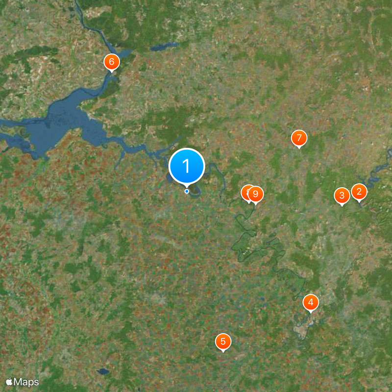
The town is most easily reached by traveling northwest from Ufa, as it sits on a relatively direct route. The flat terrain and riverside location make it easy to navigate once you arrive.

The name comes from Tatar and Bashkir languages and literally means four houses. This reference to an early settlement pattern offers a glimpse into how the place began and developed.

The community of curious travelers

AroundUs brings together thousands of curated places, local tips, and hidden gems, enriched daily by 60,000 contributors worldwide.

Start exploring
Inception
1795
Elevation above the sea
100 m
GPS coordinates
55.48333,54.86667
Latest update
December 19, 2025 23:53
Around this place
Pavlovka Reservoir
Russian Federation

Pavlovka Reservoir

104.9 km
Успенский Свято-Георгиевский монастырь
Russian Federation

Успенский Свято-Георгиевский монастырь

94.7 km
Victory Park, Ufa
Russian Federation

Victory Park, Ufa

105.6 km
Tura-khan Mausoleum
Russian Federation

Tura-khan Mausoleum

100.3 km
Saint Nicholas Church
Russian Federation

Saint Nicholas Church

85 km
Monument to Feodor Chaliapin
Russian Federation

Monument to Feodor Chaliapin

72.9 km
Lake Shamsutdin
Russian Federation

Lake Shamsutdin

38.4 km
Holy Trinity Cathedral in Birsk
Russian Federation

Holy Trinity Cathedral in Birsk

42.5 km
Russian Federation

Alekseevka Mosque

102.2 km
Cathedral of the Apostles Peter and Paul, Neftekamsk
Russian Federation

Cathedral of the Apostles Peter and Paul, Neftekamsk

77.2 km
Saints Peter and Paul Church
Russian Federation

Saints Peter and Paul Church

96.9 km
Church of the Dormition of the Theotokos
Russian Federation

Church of the Dormition of the Theotokos

96.3 km
Sovkhoz imeni Kirova
Russian Federation

Sovkhoz imeni Kirova

57.5 km
Church of Archangel Michael
Russian Federation

Church of Archangel Michael

42.1 km
Holy Trinity Church
Russian Federation

Holy Trinity Church

96.9 km
Church of Saints Guria, Barsanuphius and Herman
Russian Federation

Church of Saints Guria, Barsanuphius and Herman

42.4 km
Никольская церковь (Балаки)
Russian Federation

Никольская церковь (Балаки)

100.8 km
Каменный дом (Каракулино)
Russian Federation

Каменный дом (Каракулино)

93.2 km
Жилой дом купца В.И. Трегубова (Каракулино)
Russian Federation

Жилой дом купца В.И. Трегубова (Каракулино)

93.2 km
Хозяйственный корпус (Каракулино)
Russian Federation

Хозяйственный корпус (Каракулино)

93.5 km
Церковь Вознесения (Галаново)
Russian Federation

Церковь Вознесения (Галаново)

88.3 km
Усадьба купца И.Ф. Ведерникова (Каракулино)
Russian Federation

Усадьба купца И.Ф. Ведерникова (Каракулино)

93.2 km
Церковь Николая Чудотворца (Новопоселенное)
Russian Federation

Церковь Николая Чудотворца (Новопоселенное)

105.3 km
Георгиевская церковь (Кулюшево)
Russian Federation

Георгиевская церковь (Кулюшево)

103.1 km
Деревянный дом (Каракулино)
Russian Federation

Деревянный дом (Каракулино)

93.2 km
Двухклассное мужское училище (Каракулино)
Russian Federation

Двухклассное мужское училище (Каракулино)

93 km
Церковь Рождества Богородицы (Колесниково)
Russian Federation

Церковь Рождества Богородицы (Колесниково)

97.4 km
Chapel of the Theotokos of Kazan (Karakulino)
Russian Federation

Chapel of the Theotokos of Kazan (Karakulino)

93.1 km
Show the full map
Reviews
Share your experience

No review yet

Discussions
Start a discussion...

No discussion yet

« Dyurtyuli - Administrative center in Republic of Bashkortostan, Russia » is provided by Around Us (aroundus.com). Images and texts are derived from Wikimedia project under a Creative Commons license. You are allowed to copy, distribute, and modify copies of this page, under the conditions set by the license, as long as this note is clearly visible.

Discover hidden gems everywhere you go!

From secret cafés to breathtaking viewpoints, skip the crowded tourist spots and find places that match your style. Our app makes it easy with voice search, smart filtering, route optimization, and insider tips from travelers worldwide. Download now for the complete mobile experience.

Around Us App Screenshot

A unique approach to discovering new places

Le Figaro

All the places worth exploring

France Info

A tailor-made excursion in just a few clicks

20 Minutes

Around Us
Travel Guide & Maps
Download

Send to your phone

QR Code
1

Open the camera app on your mobile.

2

Point at the QR code with your camera. A notification will appear.

3

Tap the notification to open the link.