Beloretsky District

Log in to your account

AroundUs is a community-driven map of interesting places, built by curious explorers like you. It grows with every review, story, and photo you share.
Connect to save your favorite spots, contribute locations, and create personalized routes.
By continuing, you accept our Terms and Conditions and our Privacy Policy
Add to collection
Map
Suggest a change
Share

Beloretsky District, Municipal district in Bashkortostan, Russia.

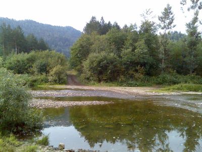
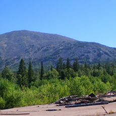
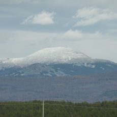
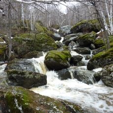
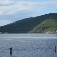
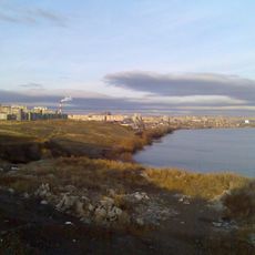
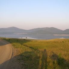
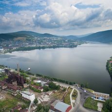
Beloretsky District is a municipal territory in eastern Bashkortostan dominated by mountains, forests, and the Belaya River running across its landscape. The area consists of nineteen administrative divisions encompassing ninety-nine rural settlements, connected by regional roads that form the main network through the region.

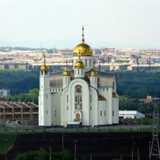
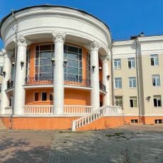
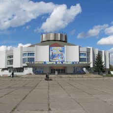
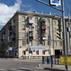
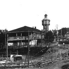
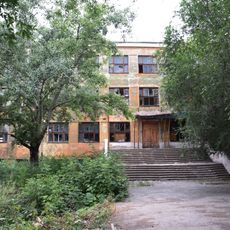
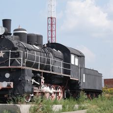
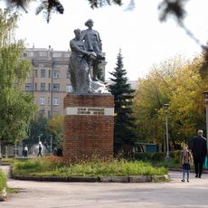
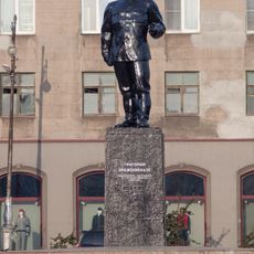
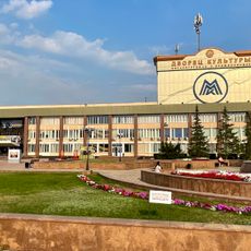
The district was created in 1930 during Soviet administrative reorganization, with Beloretsk as its administrative center supporting the region's metal production industries. Its development followed Soviet planning focused on industrial extraction and processing of natural resources.

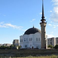
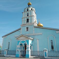
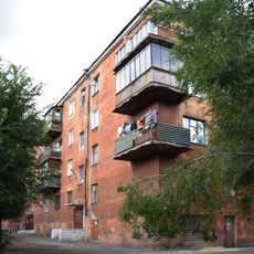
The population of 38,442 residents maintains both Russian Orthodox and Muslim traditions, reflecting the multicultural composition of the Bashkortostan region.

The best time to visit is during warmer months when mountain roads are passable and forest paths remain accessible. Winter conditions bring snow and ice that can make travel more challenging and require additional preparation.

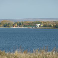
The territory borders Chelyabinsk Oblast and provides access to extensive natural reserves featuring distinctive geographical characteristics. This location makes it a significant point where two administrative regions meet, offering rich forest resources.

Location: Bashkortostan

Inception: August 20, 1930

Capital city: Beloretsk

Elevation above the sea: 691 m

Shares border with: Arkhangelsky District, Gafuriysky District, Ishimbaysky District, Burzyansky District, Abzelilovsky District, Katav-Ivanovsky District, Satkinsky District

Website: http://beladmin.ru

GPS coordinates: 53.83333,58.60000

Latest update: December 7, 2025 10:06

Photos
Around this place
Mount Yamantau
Russian Federation

Mount Yamantau

57 km
Southern Ural
Russian Federation

Southern Ural

43.5 km
Rear-front Memorial
Russian Federation

Rear-front Memorial

54 km
Bannoye Lake
Russian Federation

Bannoye Lake

27.5 km
Church of the Ascension of Christ
Russian Federation

Church of the Ascension of Christ

56.9 km
First tent monument in Magnitogorsk
Russian Federation

First tent monument in Magnitogorsk

52.4 km
Statue of Metallurgist in Magnitogorsk
Russian Federation

Statue of Metallurgist in Magnitogorsk

50.8 km
Mogak waterfall
Russian Federation

Mogak waterfall

38.9 km
Magnitogorsk Opera and Ballet Theatre
Russian Federation

Magnitogorsk Opera and Ballet Theatre

51.5 km
Magnitogorsk Mosque
Russian Federation

Magnitogorsk Mosque

55.1 km
Beloretsky footbridge
Russian Federation

Beloretsky footbridge

20.6 km
Magnitogorsk Circus
Russian Federation

Magnitogorsk Circus

54.7 km
Zavodskiy Prud
Russian Federation

Zavodskiy Prud

58.1 km
Музей-квартира Бориса Ручьёва
Russian Federation

Музей-квартира Бориса Ручьёва

53.3 km
Белорет заводы
Russian Federation

Белорет заводы

20.5 km
Tashyar
Russian Federation

Tashyar

21.5 km
Здание, где в школе учились дважды Герой Советского Союза И.Ф. Павлов, Герои Советского Союза И.С. Андрейко и В.М. Скачков (Магнитогорск)
Russian Federation

Здание, где в школе учились дважды Герой Советского Союза И.Ф. Павлов, Герои Советского Союза И.С. Андрейко и В.М. Скачков (Магнитогорск)

57.1 km
Памятник «Паровоз» (Магнитогорск)
Russian Federation

Памятник «Паровоз» (Магнитогорск)

50.8 km
Храм Михаила Архангела (Магнитогорск)
Russian Federation

Храм Михаила Архангела (Магнитогорск)

53.5 km
Palace of Culture and Technology
Russian Federation

Palace of Culture and Technology

57.6 km
Первым комсомольцам — строителям Магнитки
Russian Federation

Первым комсомольцам — строителям Магнитки

52.8 km
Statue of Ordzhonikidze in Magnitogorsk
Russian Federation

Statue of Ordzhonikidze in Magnitogorsk

53.2 km
Здание заводоуправления, где работали директорами металлургического комбината Герой Социалистического Труда Г.И. Носов и ученый металлург М.А. Павлов (Магнитогорск)
Russian Federation

Здание заводоуправления, где работали директорами металлургического комбината Герой Социалистического Труда Г.И. Носов и ученый металлург М.А. Павлов (Магнитогорск)

55.4 km
Здание госбанка (Магнитогорск)
Russian Federation

Здание госбанка (Магнитогорск)

55.6 km
Palace of Culture of Metallurgists Sergo Ordzhonikidze
Russian Federation

Palace of Culture of Metallurgists Sergo Ordzhonikidze

53.2 km
Первый капитальный жилой дом Магнитогорска (Магнитогорск)
Russian Federation

Первый капитальный жилой дом Магнитогорска (Магнитогорск)

57.8 km
Beloretsk Reservoir
Russian Federation

Beloretsk Reservoir

21.8 km
Verkhneural'skoye Vodokhranilishche
Russian Federation

Verkhneural'skoye Vodokhranilishche

47.2 km
Show the full map
Reviews

Visited this place? Tap the stars to rate it and share your experience / photos with the community! Try now! You can cancel it anytime.

« Beloretsky District - Municipal district in Bashkortostan, Russia » is provided by Around Us (aroundus.com). Images and texts are derived from Wikimedia project under a Creative Commons license. You are allowed to copy, distribute, and modify copies of this page, under the conditions set by the license, as long as this note is clearly visible.

Discover hidden gems everywhere you go!

From secret cafés to breathtaking viewpoints, skip the crowded tourist spots and find places that match your style. Our app makes it easy with voice search, smart filtering, route optimization, and insider tips from travelers worldwide. Download now for the complete mobile experience.

Around Us App Screenshot

A unique approach to discovering new places

Le Figaro

All the places worth exploring

France Info

A tailor-made excursion in just a few clicks

20 Minutes