Bugulma-Belebey Upland, Upland in eastern European Plain, Russia
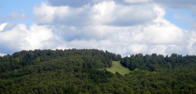
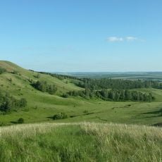
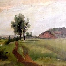
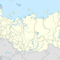
The Bugulma-Belebey Upland is a raised landform spanning Tatarstan, Bashkortostan, and Orenburg Oblast, with highest points reaching 418 meters above sea level. The terrain consists of gently rolling hills with varying soil types and serves as a natural divide between major river systems.
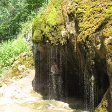
The upland formed through geological processes that shaped the Eastern European Plain, with its distinctive topography created by ancient river movements and erosion. This natural landform has remained a key geographical feature for millions of years.
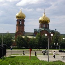
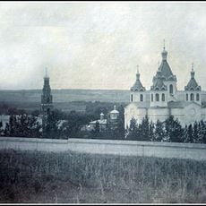
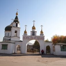
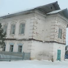
The landscape reflects the heritage of multiple communities living here, with names rooted in Russian, Bashkir, and Tatar languages. Local traditions and customs are still visible in how people interact with and understand this land.
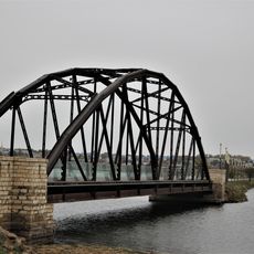
The upland can be reached through regional transport networks in Tatarstan and Bashkortostan, with several marked trails leading to viewpoints across the landscape. Plan for more time than you might expect, as the distance between points is often greater than it appears from a map.
The Romashkino oil field lies within this territory and represents one of Russia's largest petroleum reserves. Its discovery changed the region significantly, turning the landscape into an important energy production zone.
The community of curious travelers
AroundUs brings together thousands of curated places, local tips, and hidden gems, enriched daily by 60,000 contributors worldwide.