Knyazhpogostsky District, Municipal district in Komi Republic, Russia.
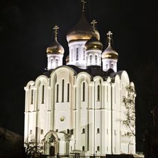
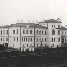
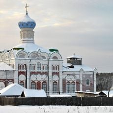
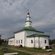
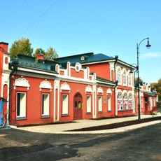
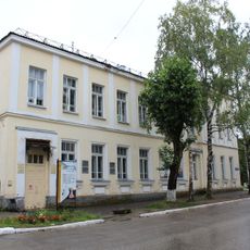
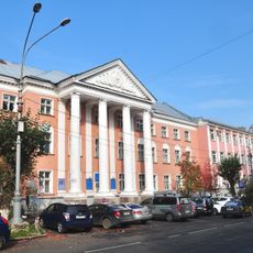
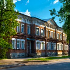
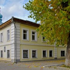
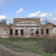
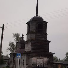
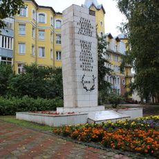
Knyazhpogostsky District is a municipal area in the western part of the Komi Republic covering a large forested region with Yemva serving as its administrative center. The territory includes two urban settlements and eight rural communities spread across the landscape.
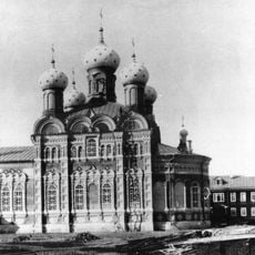
The district was established in 1939 as part of administrative reforms carried out across the Soviet Union. This reorganization of boundaries and governance structures shaped the region's development over the following decades.
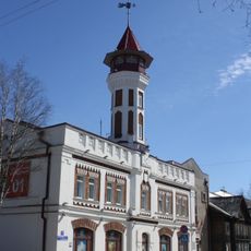
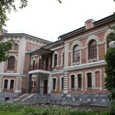
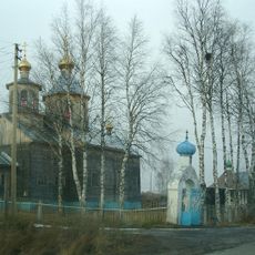
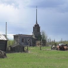
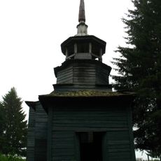
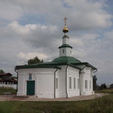
The district maintains a network of forty-five rural localities distributed among urban settlements, selo territories, and settlement administrative zones.
The area lies in the northern forest zone and can be challenging to travel through due to harsh climate and large distances between settlements. It is wise to learn about local conditions and seasons before planning journeys into the region.
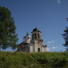
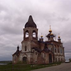
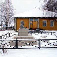
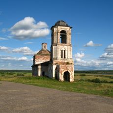
The region stands out for its extremely low population density, appearing almost untouched by human settlement despite its governance structure. Yet people continue their daily lives here, creating a striking contrast between wild nature and human persistence.
The community of curious travelers
AroundUs brings together thousands of curated places, local tips, and hidden gems, enriched daily by 60,000 contributors worldwide.