Komi Republic, Autonomous republic in northwestern Russia
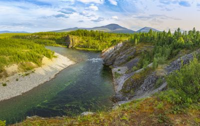
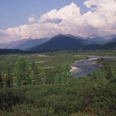
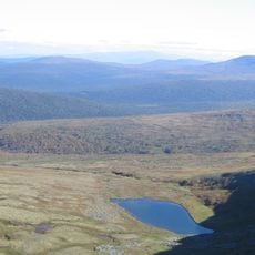
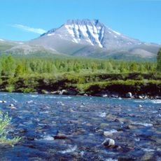
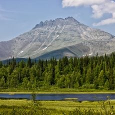
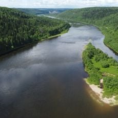
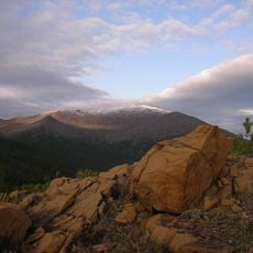
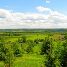
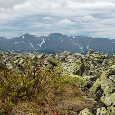
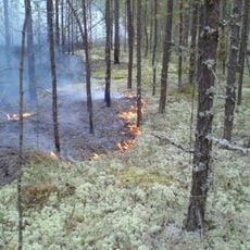
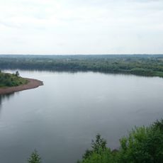
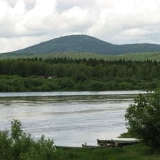
The Komi Republic is an administrative unit in northwestern Russia that stretches across a vast area between the Northern Ural foothills and the Pai-Khoi mountain range. The territory encompasses extensive forests, numerous lakes of glacial and karst origin, and several major rivers flowing through flat and hilly terrain.
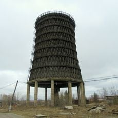
The area was initially part of the Novgorod Republic before coming under Moscow Principality control in the late 15th century, with fur trade shaping its early economy. The Soviet period brought heavy industrialization through logging and mining, which fundamentally transformed the lives of local inhabitants.
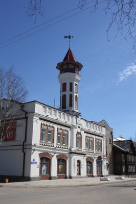
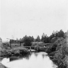
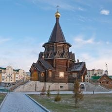
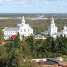
The native Komi people continue to follow their inherited customs and speak their own language in daily life, especially in northern villages and smaller settlements. Travelers often encounter traditional wooden architecture and hear the melodic Komi language in local markets and community centers.
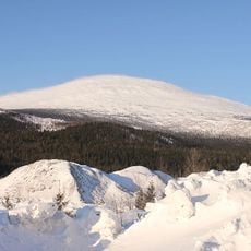
The best time to visit falls between June and August, when temperatures are milder and long daylight hours make exploring the expansive landscapes easier. Travelers should bring warm clothing for sudden weather changes, even in summer, as the subarctic climate remains unpredictable.
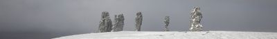
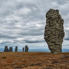
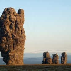
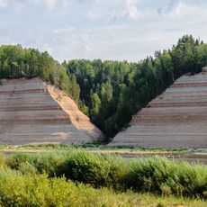
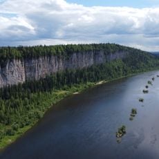
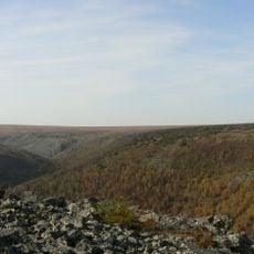
The republic contains the Mangasei fault zone, a geological fracture extending hundreds of kilometers that divides the landscape into dramatic valleys and steep slopes. This fault creates striking contrasts between flat forested areas and rugged rock formations rarely found elsewhere in the region.
The community of curious travelers
AroundUs brings together thousands of curated places, local tips, and hidden gems, enriched daily by 60,000 contributors worldwide.