Kalininsky City District, Novosibirsk

Log in to your account

AroundUs is a community-driven map of interesting places, built by curious explorers like you. It grows with every review, story, and photo you share.
Connect to save your favorite spots, contribute locations, and create personalized routes.
Continue with Google
Continue with Apple
Continue with X
Continue with Facebook
Continue with email
By continuing, you accept our Terms and Conditions and our Privacy Policy
Create an account
Add to collection
Map
Suggest a change
Share

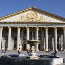
Kalininsky City District, Novosibirsk, Administrative district in Novosibirsk, Russia.

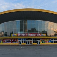
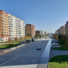
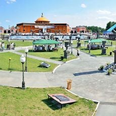
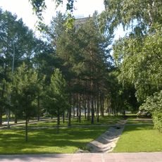
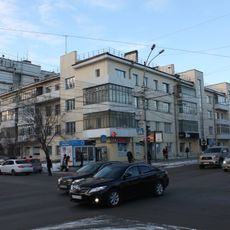
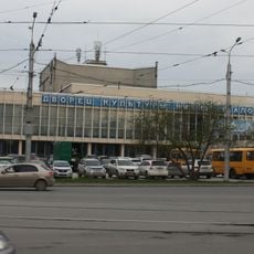
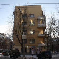
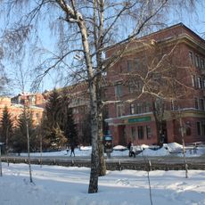
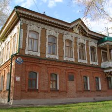
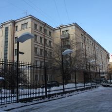
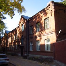
Kalininsky City District is an administrative area in Novosibirsk that combines residential neighborhoods with industrial facilities, schools, and green spaces across its expanse. The blend of housing, workplaces, and parks creates a mixed-use urban landscape typical of Soviet-era city planning.

The district originated in 1980 from the division of a larger administrative area, then expanded by absorbing nearby settlements in subsequent decades. These growth phases reflect the city's broader expansion during the late Soviet and post-Soviet periods.

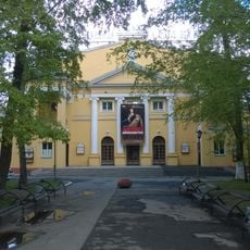
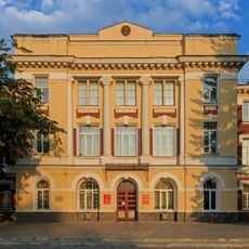
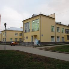
Schools and gymnasiums form the social backbone of the community, serving as meeting places for families and defining the rhythm of the school year for residents. These educational hubs integrate with residential life and shape daily routines across neighborhoods.

The district is well-served by buses, trams, and metro lines that provide connections throughout Novosibirsk, making movement between neighborhoods straightforward. Walking is practical for local errands, as shops, schools, and parks are distributed across accessible distances.

The district contains significant industrial plants including chemical production facilities and a power station that shaped the region's role as a manufacturing hub during Soviet times. These installations remain visible landmarks that define the working character of the area.

Location: Novosibirsk

Inception: October 20, 1980

GPS coordinates: 55.10000,82.96667

Latest update: December 10, 2025 15:55

Photos
Around this place
Novosibirsk Zoo
Russian Federation

Novosibirsk Zoo

7 km
Pashino
Russian Federation

Pashino

7 km
Հուղարկավորության մշակույթի համաշխարհային թանգարան
Russian Federation

Հուղարկավորության մշակույթի համաշխարհային թանգարան

6.7 km
Orthodox cathedral of the Ascension of Christ, Novosibirsk
Russian Federation

Orthodox cathedral of the Ascension of Christ, Novosibirsk

7.3 km
Parc central de Novossibirsk
Russian Federation

Parc central de Novossibirsk

7.7 km
Novosibirsk State Circus
Russian Federation

Novosibirsk State Circus

7.4 km
Rodniki, Novosibirsk
Russian Federation

Rodniki, Novosibirsk

1.7 km
Novosibirsk Musical Theater
Russian Federation

Novosibirsk Musical Theater

7.6 km
Novosibirsk Crematorium
Russian Federation

Novosibirsk Crematorium

6.8 km
Church of the Theotokos of the Sign, Novosibirsk
Russian Federation

Church of the Theotokos of the Sign, Novosibirsk

2.1 km
Нарымский сквер
Russian Federation

Нарымский сквер

7.3 km
Officers' House, Novosibirsk
Russian Federation

Officers' House, Novosibirsk

7.2 km
Russian Federation

Szevernij híd

11.3 km
City Clinical Hospital No. 1 (Novosibirsk)
Russian Federation

City Clinical Hospital No. 1 (Novosibirsk)

3.8 km
Maxim Gorky Palace of Culture
Russian Federation

Maxim Gorky Palace of Culture

3 km
Kuzbassugol Building Complex
Russian Federation

Kuzbassugol Building Complex

7.6 km
Церковь иконы Божией Матери «Скоропослушница» (Мочище)
Russian Federation

Церковь иконы Божией Матери «Скоропослушница» (Мочище)

11.6 km
Сосновый бор
Russian Federation

Сосновый бор

2 km
Chkalov Palace of Culture
Russian Federation

Chkalov Palace of Culture

4.9 km
Cathedral of the Nativity of the Blessed Virgin Mary, Novosibirsk
Russian Federation

Cathedral of the Nativity of the Blessed Virgin Mary, Novosibirsk

5.2 km
Дом Общества политкаторжан
Russian Federation

Дом Общества политкаторжан

7.7 km
Church of the Holy Martyr Eugene, Novosibirsk
Russian Federation

Church of the Holy Martyr Eugene, Novosibirsk

5 km
Oblplan House
Russian Federation

Oblplan House

7.6 km
Category:Krasnoyarskaya street 112, Novosibirsk
Russian Federation

Category:Krasnoyarskaya street 112, Novosibirsk

7.9 km
House of Artists, Novosibirsk
Russian Federation

House of Artists, Novosibirsk

7.7 km
Sukharnaya Street 68-1, Novosibirsk
Russian Federation

Sukharnaya Street 68-1, Novosibirsk

8.3 km
Progress, Novosibirsk
Russian Federation

Progress, Novosibirsk

5.5 km
City Primary School on Krasnoyarskaya Street, Novosibirsk
Russian Federation

City Primary School on Krasnoyarskaya Street, Novosibirsk

7.9 km
Show the full map
Reviews

Visited this place? Tap the stars to rate it and share your experience / photos with the community! Try now! You can cancel it anytime.

« Kalininsky City District, Novosibirsk - Administrative district in Novosibirsk, Russia » is provided by Around Us (aroundus.com). Images and texts are derived from Wikimedia project under a Creative Commons license. You are allowed to copy, distribute, and modify copies of this page, under the conditions set by the license, as long as this note is clearly visible.

Discover hidden gems everywhere you go!

From secret cafés to breathtaking viewpoints, skip the crowded tourist spots and find places that match your style. Our app makes it easy with voice search, smart filtering, route optimization, and insider tips from travelers worldwide. Download now for the complete mobile experience.

Around Us App Screenshot

A unique approach to discovering new places

Le Figaro

All the places worth exploring

France Info

A tailor-made excursion in just a few clicks

20 Minutes